|
search place name
|
||
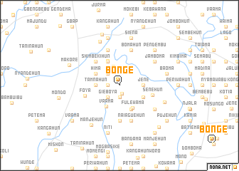
Bonge (Southern, Sierra Leone)Bonge is a town in the Southern region of Sierra Leone. An overview map of the region around Bonge is displayed below.
regional and 3d topo map of Bonge, Sierra Leone ::
Bonge airports ::
The nearest airport is FNA - Freetown Lungi, located 122.8 km north west of Bonge.
Other airports nearby include MLW - Monrovia Spriggs Payne (259.1 km south east), FAA - Faranah (260.1 km north east), ROB - Monrovia Roberts Intl (292.2 km south east), Nearby towns ::
Bohoi (1.4km south) //
Bunabu (1.9km south) //
Takpanga (1.8km west) //
Gieboya (2.6km south west) //
Niahalahun (2.6km north west) //
Wunde (3.2km north) //
Bagbwema (3.7km east) //
Jene (3.7km east) //
Tamnahun (3.7km west) //
Vaama (3.9km south west) //
Fulewama (4.1km south east) //
Banda (4.1km south east) //
Nomiama (4.1km south east) //
Kondia (4.1km north west) //
Hima (4.1km north west) //
Ganguhun (4.2km north west) //
Shimbekihun (5.2km north west) //
Senehun (5.4km east) //
Bondayilahun (5.6km south) //
Foya (5.5km west) //
Bomahun (5.9km north) //
Naiaguehun (5.9km south) //
Manjawo (5.9km north) //
Jamboma (6.6km north east) //
Jaiahun (6.6km north east) //
Gpowama (6.6km south east) //
Banda (7.5km north west) //
Bambuibu (7.5km east) //
Manjehun (7.6km south west) //
[all distances 'as the bird flies' and approximate] 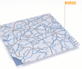 Places with similar names to Bonge, Sierra Leone ::
Disclaimer :: Information on this page comes without warranty of any kind |
||
|
Where is Bonge? Elevation and coordinates ::
Latitude (lat): 8°9'0"N Longitude (lon): 12°11'0"W
Elevation (approx.): 68m (map arrows pan, magnifying glasses zoom) |
||
|
Visiting Bonge? Hotel/Accommodation ::
Book a hotel in Bonge Travel Guide ::
rental cars ::
car rental offers GPS waypoint ::
download a GPX waypoint (PoI) of Bonge for your GPS receiver
|
||