|
search place name
|
||
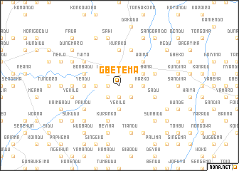
Gbetema (Eastern, Sierra Leone)Gbetema is a town in the Eastern region of Sierra Leone. An overview map of the region around Gbetema is displayed below.
regional and 3d topo map of Gbetema, Sierra Leone ::
Gbetema airports ::
The nearest airport is FAA - Faranah, located 158.9 km north of Gbetema.
Nearby towns ::
Tongoma (1.8km west) //
Jagbwema (1.9km north) //
Falo (1.9km south) //
Popoma (1.8km east) //
Kunduma (2.6km north west) //
Maidu (2.6km south west) //
Bosadu (2.6km south east) //
Tumbu (3.7km west) //
Yekilo (3.7km south) //
Marko (3.7km east) //
Yambama (4.1km north east) //
Waima (5.2km north east) //
Yendu (5.5km west) //
Kurako (5.6km north) //
Kuranko (5.9km south) //
Bombadu (5.8km west) //
Gbanbalo (5.9km north) //
Kugbao (5.8km east) //
Sadu (5.8km east) //
Pakidu (6.6km south west) //
Twiyo (6.6km north west) //
Kasadu (7.3km west) //
Yekilo (7.6km west) //
Beyima (7.6km south) //
Sawi (7.6km north) //
Tiandu (7.6km south) //
Singema (7.8km south west) //
Sumbidu (7.8km south east) //
Gegbadu (8.2km north west) //
[all distances 'as the bird flies' and approximate] 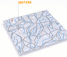 Places with similar names to Gbetema, Sierra Leone ::
// Kibatama (BI)
// Koubatiembi (TD)
// Gbodome (GH)
// Gbodome (GH)
// Kibutamu (UG)
// Kiba Tombo (NE)
// Gbatema (SL)
// Gbatema (SL)
// Gbetema (SL)
// Gbeteoma (SL)
Disclaimer :: Information on this page comes without warranty of any kind |
||
|
Where is Gbetema? Elevation and coordinates ::
Latitude (lat): 8°36'0"N Longitude (lon): 10°49'0"W
Elevation (approx.): 481m (map arrows pan, magnifying glasses zoom) |
||
|
Visiting Gbetema? Hotel/Accommodation ::
Book a hotel in Gbetema Travel Guide ::
rental cars ::
car rental offers GPS waypoint ::
download a GPX waypoint (PoI) of Gbetema for your GPS receiver
|
||