|
search place name
|
||
Gbundapi (Southern, Sierra Leone)Gbundapi is a town in the Southern region of Sierra Leone. An overview map of the region around Gbundapi is displayed below.
regional and 3d topo map of Gbundapi, Sierra Leone ::

Gbundapi airports ::
The nearest airport is MLW - Monrovia Spriggs Payne, located 165.9 km south east of Gbundapi.
Other airports nearby include ROB - Monrovia Roberts Intl (203.6 km south east), FNA - Freetown Lungi (206.4 km north west), Nearby towns ::
Mani (0.4km south) //
Manjama (1.8km east) //
Naji (3.9km north east) //
Batahol (4.1km north west) //
Bandako (4.4km south) //
Basale (5.4km east) //
Gbema (5.6km south west) //
Blama (6.3km north east) //
Mando (6.5km south east) //
Vaama (6.8km south east) //
Bohun (7.0km south west) //
Senehun (7.2km north) //
Palima (7.7km west) //
Sembehun (7.8km south) //
Sundu (7.9km north east) //
Mopalma (8.2km south) //
Gandorhun (8.3km south east) //
Kotomahun (8.3km east) //
Gibina (8.6km north east) //
Hoya (8.8km south west) //
Gangama (9.1km north) //
Hunkan (9.1km north) //
Wubange (9.1km north west) //
Kebawana (9.1km north west) //
Bale (10.1km north east) //
Taninahun (10.4km north east) //
Tungie (11.4km north west) //
Mokengi (11.5km north east) //
[all distances 'as the bird flies' and approximate] 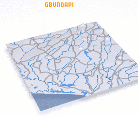
Disclaimer :: Information on this page comes without warranty of any kind |
||
|
Where is Gbundapi? Elevation and coordinates ::
Latitude (lat): 7°19'12"N Longitude (lon): 11°50'56"W
Elevation (approx.): 6m (map arrows pan, magnifying glasses zoom) |
||
|
Visiting Gbundapi? Hotel/Accommodation ::
Book a hotel in Gbundapi Travel Guide ::
rental cars ::
car rental offers GPS waypoint ::
download a GPX waypoint (PoI) of Gbundapi for your GPS receiver
|
||