|
search place name
|
||
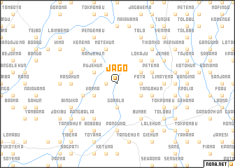
Jago (Eastern, Sierra Leone)Jago is a town in the Eastern region of Sierra Leone. An overview map of the region around Jago is displayed below.
regional and 3d topo map of Jago, Sierra Leone ::
Jago airports ::
The nearest airport is FAA - Faranah, located 201.5 km north of Jago.
Other airports nearby include MLW - Monrovia Spriggs Payne (220.8 km south), Nearby towns ::
Kondea (1.8km west) //
Beshebu (3.7km east) //
Gorala (3.7km south) //
Foya (3.7km east) //
Gorahun (4.1km north east) //
Majebu (4.1km north east) //
Mandahun (4.1km south east) //
Varma (4.1km south west) //
Bangabu (4.1km south west) //
Koyama Jego (4.1km north west) //
Pujehun (4.1km north west) //
Lokaju (5.2km north east) //
Manjehun (5.2km north west) //
Koyama Bulima (5.8km west) //
Motehun (5.9km north) //
Petema (5.8km east) //
Baoma (5.9km north) //
Yangahun (5.8km east) //
Gohuma (6.6km north east) //
Bumbe (6.7km south east) //
Nenehun (6.7km south west) //
Limayema (7.3km east) //
Jagbahun (7.3km east) //
Jojoima (7.3km west) //
Masahun (7.3km west) //
Panguma (7.4km south) //
Yongoima (7.6km west) //
Pangbalia (7.8km south west) //
Kenema (7.8km north west) //
[all distances 'as the bird flies' and approximate] 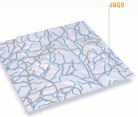 Places with similar names to Jago, Sierra Leone ::
Disclaimer :: Information on this page comes without warranty of any kind |
||
|
Where is Jago? Elevation and coordinates ::
Latitude (lat): 8°15'0"N Longitude (lon): 11°8'0"W
Elevation (approx.): 365m (map arrows pan, magnifying glasses zoom) |
||
|
Visiting Jago? Hotel/Accommodation ::
Book a hotel in Jago Travel Guide ::
rental cars ::
car rental offers GPS waypoint ::
download a GPX waypoint (PoI) of Jago for your GPS receiver
|
||