|
search place name
|
||
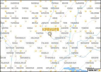
Kpawura (Eastern, Sierra Leone)Kpawura is a town in the Eastern region of Sierra Leone. An overview map of the region around Kpawura is displayed below.
regional and 3d topo map of Kpawura, Sierra Leone ::
Kpawura airports ::
The nearest airport is FAA - Faranah, located 175.5 km north of Kpawura.
Nearby towns ::
Fuendu (0.0km north) //
Koroma (1.9km north) //
Bumpe (2.6km north east) //
Bada (2.6km north east) //
Bendu (3.7km south) //
Fuendu (3.7km west) //
Moimardu (3.7km east) //
Fulako (4.1km south west) //
Jafuya (4.1km north west) //
Kemoru (4.1km south east) //
Sengema (4.1km north east) //
Konkoworo (4.1km north east) //
Konkonani (4.1km south east) //
Bodu (5.2km north west) //
Bandama (5.2km north east) //
Navuro (5.5km east) //
Sandaru (5.9km south) //
Dukono (5.8km east) //
Kalahun (5.8km west) //
Giehun (5.8km west) //
Woko (5.9km north) //
Taia (6.6km north east) //
Salu (6.7km south west) //
Bendu (6.6km north west) //
Sukudu (6.7km north east) //
Bandasuma (7.4km north) //
Malema (7.4km north) //
Koidu (7.6km west) //
Musala (7.6km south) //
[all distances 'as the bird flies' and approximate] 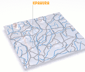 Places with similar names to Kpawura, Sierra Leone ::
// Gahpewāro (PK)
Disclaimer :: Information on this page comes without warranty of any kind |
||
|
Where is Kpawura? Elevation and coordinates ::
Latitude (lat): 8°27'0"N Longitude (lon): 10°43'0"W
Elevation (approx.): 355m (map arrows pan, magnifying glasses zoom) |
||
|
Visiting Kpawura? Hotel/Accommodation ::
Book a hotel in Kpawura Travel Guide ::
rental cars ::
car rental offers GPS waypoint ::
download a GPX waypoint (PoI) of Kpawura for your GPS receiver
|
||