|
search place name
|
||
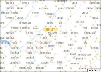
Mamuta (Eastern, Sierra Leone)Mamuta is a town in the Eastern region of Sierra Leone. An overview map of the region around Mamuta is displayed below.
regional and 3d topo map of Mamuta, Sierra Leone ::
Mamuta airports ::
The nearest airport is FAA - Faranah, located 189.7 km north of Mamuta.
Nearby towns ::
Kondama (0.0km north) //
Tangabu (1.9km south) //
Gokodu (1.9km north) //
Gega (1.8km east) //
Yibema (1.8km west) //
Fogbodu (1.9km south) //
Poruma (2.0km south east) //
Dar-es-Salaam (2.6km north east) //
Koyama (2.6km north west) //
Bowo (2.6km south west) //
Njala (3.7km east) //
Sakpe (3.7km north) //
Kondoma (3.7km north east) //
Levuma (4.0km west) //
Sodokorobendu (4.1km north east) //
Jaluahun (4.1km south west) //
Kweko (4.1km south west) //
Kabawana (4.1km south west) //
Kokoma (4.1km north east) //
Kpayamalu (4.1km north west) //
Baiama (4.8km south) //
Petema (5.2km south east) //
Jaluahun (5.2km south west) //
Dia (5.2km north east) //
Mano (5.3km south west) //
Boko (5.5km east) //
Bamba (5.5km west) //
Sandialu (5.8km south) //
Wandobu (5.8km west) //
[all distances 'as the bird flies' and approximate] 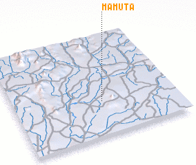 Places with similar names to Mamuta, Sierra Leone ::
Disclaimer :: Information on this page comes without warranty of any kind |
||
|
Where is Mamuta? Elevation and coordinates ::
Latitude (lat): 8°21'0"N Longitude (lon): 10°27'0"W
Elevation (approx.): 347m (map arrows pan, magnifying glasses zoom) |
||
|
Visiting Mamuta? Hotel/Accommodation ::
Book a hotel in Mamuta Travel Guide ::
rental cars ::
car rental offers GPS waypoint ::
download a GPX waypoint (PoI) of Mamuta for your GPS receiver
|
||