|
search place name
|
||
Mobeki (Southern, Sierra Leone)Mobeki is a town in the Southern region of Sierra Leone. An overview map of the region around Mobeki is displayed below.
regional and 3d topo map of Mobeki, Sierra Leone ::

Mobeki airports ::
The nearest airport is FNA - Freetown Lungi, located 105.2 km north west of Mobeki.
Nearby towns ::
Nyandehun (0.7km north) //
Mandu (1.6km south east) //
Matakan (1.9km south) //
Benge (1.8km east) //
Rontok (3.2km east) //
Cher (4.4km north) //
Mokonvandi (5.5km east) //
Mosan (5.6km north west) //
Domo (5.8km north east) //
Gendema (6.2km north west) //
Lantibul (7.0km east) //
Bembelo Glema (7.5km south east) //
Makumpa (7.6km north) //
Giehun (7.6km east) //
Yakagi (7.8km north east) //
Bembelo Njala (7.8km south east) //
Manjama (8.1km east) //
Nyandehun (8.5km north west) //
Tombe (8.6km north east) //
Mohite (9.2km north west) //
Kambia (9.3km north west) //
Bonjema (10.0km north east) //
Kangama (10.4km north west) //
[all distances 'as the bird flies' and approximate] 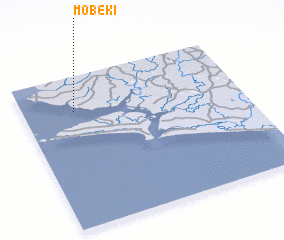 Places with similar names to Mobeki, Sierra Leone ::
Disclaimer :: Information on this page comes without warranty of any kind |
||
|
Where is Mobeki? Elevation and coordinates ::
Latitude (lat): 7°46'0"N Longitude (lon): 12°46'0"W
Elevation (approx.): 3m (map arrows pan, magnifying glasses zoom) |
||
|
Visiting Mobeki? Hotel/Accommodation ::
Book a hotel in Mobeki Travel Guide ::
rental cars ::
car rental offers GPS waypoint ::
download a GPX waypoint (PoI) of Mobeki for your GPS receiver
|
||