|
search place name
|
||
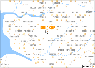
Mobiakefi (Southern, Sierra Leone)Mobiakefi is a town in the Southern region of Sierra Leone. An overview map of the region around Mobiakefi is displayed below.
regional and 3d topo map of Mobiakefi, Sierra Leone ::
Mobiakefi airports ::
The nearest airport is FNA - Freetown Lungi, located 82.5 km north west of Mobiakefi.
Other airports nearby include MLW - Monrovia Spriggs Payne (291.3 km south east), Nearby towns ::
Gbanti (1.9km north) //
Mofino (2.6km north east) //
Moyagba (2.6km south east) //
Mokonbeti (2.6km south west) //
Periwahun (4.1km north east) //
Lungi (4.1km north east) //
Mabunsa (4.1km south east) //
Bondal (4.2km south west) //
Mobele (4.4km north west) //
Motainkil (5.0km south west) //
Mokoti (5.2km north west) //
Komendi (5.2km north west) //
Mokawa (5.8km west) //
Movunde (5.8km west) //
Lawana (5.8km west) //
Mokanasi (5.8km east) //
Moyema (5.9km north) //
Tisana (6.7km north east) //
Mayutai (6.6km south east) //
Madina (6.6km south west) //
Maboana (6.9km south east) //
Tokpombu (7.3km west) //
Makombo (7.3km east) //
Yalo (7.6km north) //
Siwal (7.6km north) //
Mobele (7.6km west) //
Mokaisumana (7.6km west) //
Mosundu (7.6km west) //
Motumbo (7.8km south) //
[all distances 'as the bird flies' and approximate] 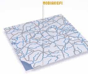 Places with similar names to Mobiakefi, Sierra Leone :: Disclaimer :: Information on this page comes without warranty of any kind |
||
|
Where is Mobiakefi? Elevation and coordinates ::
Latitude (lat): 8°1'0"N Longitude (lon): 12°45'0"W
Elevation (approx.): 7m (map arrows pan, magnifying glasses zoom) |
||
|
Visiting Mobiakefi? Hotel/Accommodation ::
Book a hotel in Mobiakefi Travel Guide ::
rental cars ::
car rental offers GPS waypoint ::
download a GPX waypoint (PoI) of Mobiakefi for your GPS receiver
|
||