|
search place name
|
||
Mokiri (Southern, Sierra Leone)Mokiri is a town in the Southern region of Sierra Leone. An overview map of the region around Mokiri is displayed below.
regional and 3d topo map of Mokiri, Sierra Leone ::

Mokiri airports ::
The nearest airport is FNA - Freetown Lungi, located 104.6 km west of Mokiri.
Other airports nearby include FAA - Faranah (255.2 km north east), Nearby towns ::
Benduma (1.9km south) //
Baoma (2.6km south west) //
Jerihun (2.6km north west) //
Buya (2.6km north east) //
Makump (3.7km north) //
Tongbai (3.7km east) //
Gendema (3.7km south) //
Nwala (4.1km north west) //
Kongo (4.1km north west) //
Sembehun (4.1km south west) //
Kowama (4.1km south west) //
Mangoni (4.1km south west) //
Panguma (4.1km north east) //
Jagbahun (4.1km south east) //
Gbahama (5.3km north west) //
Taua (5.6km north) //
Gbengbebu (5.6km south) //
Monjobo (5.8km west) //
Giegboia (5.8km west) //
Mafan (5.9km north) //
Semabu (5.8km west) //
Waterloo (5.8km east) //
Bambaworo (6.6km north west) //
Bauya (6.6km south west) //
Gandohun (6.7km south west) //
Gendema (6.7km south east) //
Gbangbama (6.8km south west) //
Mapoli (7.4km north) //
Mabolu (7.4km north) //
[all distances 'as the bird flies' and approximate] 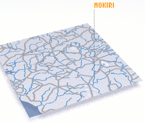 Places with similar names to Mokiri, Sierra Leone ::
Disclaimer :: Information on this page comes without warranty of any kind |
||
|
Where is Mokiri? Elevation and coordinates ::
Latitude (lat): 8°18'0"N Longitude (lon): 12°18'0"W
Elevation (approx.): 76m (map arrows pan, magnifying glasses zoom) |
||
|
Visiting Mokiri? Hotel/Accommodation ::
Book a hotel in Mokiri Travel Guide ::
rental cars ::
car rental offers GPS waypoint ::
download a GPX waypoint (PoI) of Mokiri for your GPS receiver
|
||