|
search place name
|
||
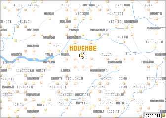
Movembe (Southern, Sierra Leone)Movembe is a town in the Southern region of Sierra Leone. An overview map of the region around Movembe is displayed below.
regional and 3d topo map of Movembe, Sierra Leone ::
Movembe airports ::
The nearest airport is FNA - Freetown Lungi, located 80.3 km north west of Movembe.
Other airports nearby include MLW - Monrovia Spriggs Payne (292.1 km south east), FAA - Faranah (302.7 km north east), Nearby towns ::
Mosadugu (1.9km south) //
Bembe (1.8km west) //
Mofure (1.9km east) //
Moyegbe (2.6km south east) //
Tisana (2.6km south west) //
Siwal (3.7km west) //
Mokonia (4.1km north west) //
Gendema (4.1km north west) //
Bumpetok (4.1km north east) //
Bangagolehun (4.2km north west) //
Mosimbara (5.2km south east) //
Lungi (5.2km south west) //
Mokohun (5.5km east) //
Pulun (5.5km east) //
Mogbenje (5.6km north) //
Moia (5.6km north) //
Periwahun (5.9km south) //
Pende (5.9km north) //
Bumpe (5.9km north) //
Mamu (5.8km west) //
Moyemi (6.7km south east) //
Mofino (6.7km south west) //
Mokurigbe (6.7km north east) //
Kasipota (6.7km north west) //
Mabobo (7.3km east) //
Yalo (7.3km west) //
Makombo (7.6km south) //
Kangama (7.6km east) //
Fulawahun (7.6km east) //
[all distances 'as the bird flies' and approximate] 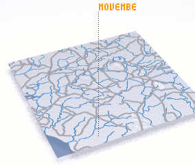 Places with similar names to Movembe, Sierra Leone ::
Disclaimer :: Information on this page comes without warranty of any kind |
||
|
Where is Movembe? Elevation and coordinates ::
Latitude (lat): 8°5'0"N Longitude (lon): 12°42'0"W
Elevation (approx.): 24m (map arrows pan, magnifying glasses zoom) |
||
|
Visiting Movembe? Hotel/Accommodation ::
Book a hotel in Movembe Travel Guide ::
rental cars ::
car rental offers GPS waypoint ::
download a GPX waypoint (PoI) of Movembe for your GPS receiver
|
||