|
search place name
|
||
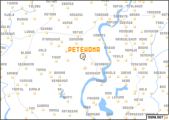
Petewoma (Southern, Sierra Leone)Petewoma is a town in the Southern region of Sierra Leone. An overview map of the region around Petewoma is displayed below.
regional and 3d topo map of Petewoma, Sierra Leone ::
Petewoma airports ::
The nearest airport is FNA - Freetown Lungi, located 172.9 km north west of Petewoma.
Other airports nearby include MLW - Monrovia Spriggs Payne (199.5 km south east), ROB - Monrovia Roberts Intl (236.3 km south east), Nearby towns ::
Mohuwa (1.7km south) //
Lilema (1.8km south east) //
Jahun (1.9km north) //
Pehun (1.9km south) //
Keyehun (3.7km west) //
Gondama (4.1km north west) //
Demaboa (4.1km south east) //
Seniehun (4.3km south east) //
Ngiyema (4.4km north west) //
Motuo (5.5km north) //
Gondama (5.6km east) //
Kobotu (5.7km north east) //
Komendi (5.7km north east) //
Kisewa (5.8km east) //
Tihun (6.3km west) //
Naji (6.5km north west) //
Semabu (6.5km north west) //
Mobavi (6.7km south east) //
Baiama (6.6km south west) //
Makola (6.6km south east) //
Yegile (7.3km east) //
Sembehun (7.8km south west) //
Gerehun (8.1km west) //
Wunde (8.3km north west) //
Gambia (8.2km south east) //
Nyandehun (8.2km north west) //
Moyogbo (8.2km south west) //
Lawana (8.8km north) //
Mosanjo (8.8km south west) //
[all distances 'as the bird flies' and approximate] 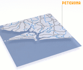 Places with similar names to Petewoma, Sierra Leone ::
Disclaimer :: Information on this page comes without warranty of any kind |
||
|
Where is Petewoma? Elevation and coordinates ::
Latitude (lat): 7°34'0"N Longitude (lon): 12°2'0"W
Elevation (approx.): 30m (map arrows pan, magnifying glasses zoom) |
||
|
Visiting Petewoma? Hotel/Accommodation ::
Book a hotel in Petewoma Travel Guide ::
rental cars ::
car rental offers GPS waypoint ::
download a GPX waypoint (PoI) of Petewoma for your GPS receiver
|
||