|
search place name
|
||
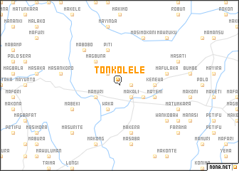
Tonkolele (Northern, Sierra Leone)Tonkolele is a town in the Northern region of Sierra Leone. An overview map of the region around Tonkolele is displayed below.
regional and 3d topo map of Tonkolele, Sierra Leone ::
Tonkolele airports ::
The nearest airport is FNA - Freetown Lungi, located 166.5 km west of Tonkolele.
Other airports nearby include FAA - Faranah (183.2 km north east), FIG - Fira Fria (279.7 km north west), Nearby towns ::
Makenti (1.8km east) //
Makali (2.6km south east) //
Lat (2.6km north west) //
Matumbu (4.1km south east) //
Waka (4.1km south west) //
Mamuri (4.1km south west) //
Magbuna (5.2km north west) //
Kenewa (5.5km east) //
Piti (5.9km north) //
Mayemi (5.8km east) //
Mafulaka (7.6km east) //
Makera (7.6km south) //
Mabobo (7.8km north west) //
Masimo-Kani (8.3km north east) //
Mabeki (8.2km south west) //
Wankobaw (9.2km south east) //
Mankomba (9.2km south east) //
Mawruku (10.4km north east) //
Masurite (10.4km south west) //
[all distances 'as the bird flies' and approximate] 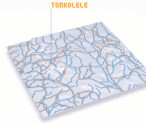 Places with similar names to Tonkolele, Sierra Leone ::
// Dinguilila (GA)
// Tancolol (MX)
// Toungoulel (SN)
// Danna Kulali (PK)
// Tunga Ilela (NG)
// Dangolola (ML)
// Dangalilo (MW)
// Dangalilo (MW)
Disclaimer :: Information on this page comes without warranty of any kind |
||
|
Where is Tonkolele? Elevation and coordinates ::
Latitude (lat): 8°39'0"N Longitude (lon): 11°41'0"W
Elevation (approx.): 280m (map arrows pan, magnifying glasses zoom) |
||
|
Visiting Tonkolele? Hotel/Accommodation ::
Book a hotel in Tonkolele Travel Guide ::
rental cars ::
car rental offers GPS waypoint ::
download a GPX waypoint (PoI) of Tonkolele for your GPS receiver
|
||