|
search place name
|
||
Drivaï ((( Malakula )), Vanuatu)Drivaï is a town in the (( Malakula )) region of Vanuatu. An overview map of the region around Drivaï is displayed below.
regional and 3d topo map of Drivaï, Vanuatu ::

Drivaï airports ::
The nearest airport is VLI - Port-vila Port Vila Bauerfield, located 148.3 km south of Drivaï.
Nearby towns ::
Pénap (NaNkm north) //
Rambouan (2.6km north west) //
Lamap (2.6km north west) //
Lovis (2.6km north west) //
Nanamorou (3.7km south) //
Mériver (4.0km north west) //
Péniciès (4.0km north west) //
Assoué (7.4km south) //
Bourbar (9.1km north west) //
[all distances 'as the bird flies' and approximate] 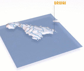 Places with similar names to Drivaï, Vanuatu ::
Disclaimer :: Information on this page comes without warranty of any kind |
||
|
Where is Drivaï? Elevation and coordinates ::
Latitude (lat): 16°27'0"S Longitude (lon): 167°49'0"E
Elevation (approx.): 151m (map arrows pan, magnifying glasses zoom) |
||
|
Visiting Drivaï? Hotel/Accommodation ::
Book a hotel in Drivaï Travel Guide ::
Buy a travel guide for Vanuatu rental cars ::
car rental offers GPS waypoint ::
download a GPX waypoint (PoI) of Drivaï for your GPS receiver
|
||