|
search place name
|
||
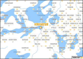
Kakwesa (Malawi)Kakwesa is a town in Malawi. An overview map of the region around Kakwesa is displayed below.
regional and 3d topo map of Kakwesa, Malawi ::
Kakwesa airports ::
The nearest airport is LLW - Lilongwe Kamuzu Intl, located 53.8 km east of Kakwesa.
Other airports nearby include MFU - Mfuwe (154.4 km west), VXC - Lichinga (217.3 km east), Nearby towns ::
Made (0.0km north) //
Sitambo (1.9km south) //
Kagoti (1.9km north) //
Ngonbongo (1.8km east) //
Mbewa (2.6km south east) //
Chakalira (3.6km west) //
Ciphwanya (3.7km south) //
Vivi (3.7km north) //
Kalambwe (3.7km north) //
Mzama (3.7km north) //
Chimbaka (3.7km north) //
Chunga (4.1km south west) //
Kanjesa (4.1km south east) //
Bonda (4.1km north east) //
Mangatsa (4.1km north east) //
Mtunga (5.2km south west) //
Kalusi (5.2km south east) //
Chichitike (5.2km south east) //
Kakuda (5.4km west) //
Charinda (5.6km north) //
Chisenga (5.6km north) //
Chintoto (5.4km east) //
Ntolo (5.4km east) //
Beni (5.7km west) //
Mthumba (5.7km east) //
Nthondo (5.7km east) //
Katenthe (5.8km south) //
Makumbe (5.8km south) //
Manjirira (5.8km south) //
[all distances 'as the bird flies' and approximate] 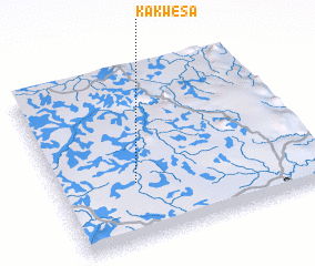 Places with similar names to Kakwesa, Malawi ::
Disclaimer :: Information on this page comes without warranty of any kind |
||
|
Where is Kakwesa? Elevation and coordinates ::
Latitude (lat): 13°40'0"S Longitude (lon): 33°18'0"E
Elevation (approx.): 1048m (map arrows pan, magnifying glasses zoom) |
||
|
Visiting Kakwesa? Hotel/Accommodation ::
Book a hotel in Kakwesa Travel Guide ::
Buy a travel guide for Malawi rental cars ::
car rental offers GPS waypoint ::
download a GPX waypoint (PoI) of Kakwesa for your GPS receiver
|
||