|
search place name
|
||
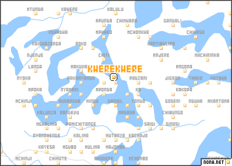
Kwerekwere (Malawi)Kwerekwere is a town in Malawi. An overview map of the region around Kwerekwere is displayed below.
regional and 3d topo map of Kwerekwere, Malawi ::
Kwerekwere airports ::
The nearest airport is LLW - Lilongwe Kamuzu Intl, located 81.7 km east of Kwerekwere.
Other airports nearby include MFU - Mfuwe (127.7 km west), BLZ - Blantyre Chileka Intl (304.1 km south east), Nearby towns ::
Matutu (0.0km north) //
Chimutu (1.8km west) //
Patenje (2.6km north east) //
Mponda (2.6km south west) //
Chikaso (2.6km south east) //
Padzani (3.6km east) //
Daniel (3.7km south) //
Chiti (4.1km north west) //
Mtenje (4.1km north east) //
Ka (4.1km south east) //
Chilonja (4.1km south east) //
Mingu (5.2km south west) //
Tondo (5.2km south east) //
Amozi (5.4km east) //
Mkomba (5.4km west) //
Pakanyanda (5.4km west) //
Makuvani (5.7km west) //
Chimuti (5.8km south) //
Masasa (5.8km south) //
Chipande (5.7km west) //
Mitara (6.6km north west) //
Mduwa (6.6km south east) //
Tenje (6.6km south east) //
Iscariot (6.6km south east) //
Daniele (6.6km south east) //
Kangulu (7.6km north) //
Mphako (7.6km north) //
Nyamasi (7.4km west) //
Kapampika (7.4km west) //
[all distances 'as the bird flies' and approximate] 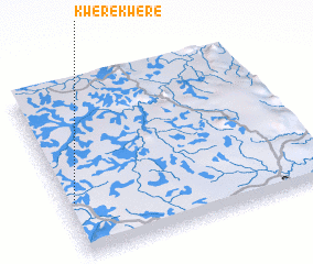 Places with similar names to Kwerekwere, Malawi ::
// Gwarou Kwara (NE)
// Gwergwer (NG)
Disclaimer :: Information on this page comes without warranty of any kind |
||
|
Where is Kwerekwere? Elevation and coordinates ::
Latitude (lat): 13°41'0"S Longitude (lon): 33°2'0"E
Elevation (approx.): 1121m (map arrows pan, magnifying glasses zoom) |
||
|
Visiting Kwerekwere? Hotel/Accommodation ::
Book a hotel in Kwerekwere Travel Guide ::
Buy a travel guide for Malawi rental cars ::
car rental offers GPS waypoint ::
download a GPX waypoint (PoI) of Kwerekwere for your GPS receiver
|
||