|
search place name
|
||
Mpalawe (Malawi)Mpalawe is a town in Malawi. An overview map of the region around Mpalawe is displayed below.
regional and 3d topo map of Mpalawe, Malawi ::

Mpalawe airports ::
The nearest airport is LLW - Lilongwe Kamuzu Intl, located 39.1 km south east of Mpalawe.
Other airports nearby include VXC - Lichinga (178.2 km east), MFU - Mfuwe (185.2 km west), Nearby towns ::
Chilawa (0.0km north) //
Kapulanga (0.0km north) //
Kamanga (1.8km west) //
Mnelo (1.9km south) //
Waletsa (1.9km south) //
Nkanga (1.9km north) //
Ciziko (1.9km north) //
Nkala (1.9km north) //
Chikudzu (1.9km north) //
Mbobo (1.9km north) //
Kalimbila (2.6km south west) //
Katsukunya (2.6km south west) //
Muli (2.6km south west) //
Chandiwu (2.6km north west) //
Chitawala (2.6km south east) //
Chakhaza (2.6km north east) //
Chiula (3.6km west) //
Chakasa (3.7km north) //
Mbelesheka (3.7km north) //
Kombi (3.6km east) //
Kabanga (4.1km south west) //
Nkafi (4.1km north west) //
Jasi (4.1km north east) //
Katambo (4.1km north east) //
Khombe (4.1km north east) //
Mzira (5.2km north west) //
Jesaya (5.2km north west) //
Chikwawi (5.2km north west) //
Tsankanga (5.4km west) //
[all distances 'as the bird flies' and approximate] 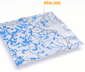 Places with similar names to Mpalawe, Malawi ::
Disclaimer :: Information on this page comes without warranty of any kind |
||
|
Where is Mpalawe? Elevation and coordinates ::
Latitude (lat): 13°28'0"S Longitude (lon): 33°38'0"E
Elevation (approx.): 1154m (map arrows pan, magnifying glasses zoom) |
||
|
Visiting Mpalawe? Hotel/Accommodation ::
Book a hotel in Mpalawe Travel Guide ::
Buy a travel guide for Malawi rental cars ::
car rental offers GPS waypoint ::
download a GPX waypoint (PoI) of Mpalawe for your GPS receiver
|
||