|
search place name
|
||
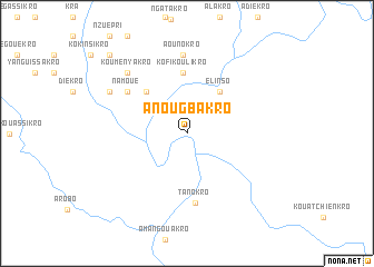
Anougbakro (Cote d'Ivoire)Anougbakro is a town in Cote d'Ivoire. An overview map of the region around Anougbakro is displayed below.
regional and 3d topo map of Anougbakro, Cote d'Ivoire ::
Anougbakro airports ::
The nearest airport is NYI - Sunyani, located 162.7 km east of Anougbakro.
Other airports nearby include BYK - Bouake (169.8 km north west), ASK - Yamoussoukro (179.0 km west), ABJ - Abidjan Felix Houphouet Boigny Intl (189.1 km south), Nearby towns ::
Elinso (5.3km north east) //
Drikouadio (5.8km north west) //
Kofi Koulikro (6.1km north) //
Tanokro (7.1km south) //
Namoué (7.2km north west) //
Aounokro (7.9km north) //
Kouményakro (8.4km north west) //
Bouloukouakro (8.8km north west) //
Kangakro (11.1km north west) //
Bonikakro (11.1km north west) //
[all distances 'as the bird flies' and approximate] 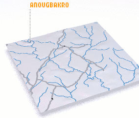 Places with similar names to Anougbakro, Cote d'Ivoire :: Disclaimer :: Information on this page comes without warranty of any kind |
||
|
Where is Anougbakro? Elevation and coordinates ::
Latitude (lat): 6°57'44"N Longitude (lon): 3°44'48"W
Elevation (approx.): 150m (map arrows pan, magnifying glasses zoom) |
||
|
Visiting Anougbakro? Hotel/Accommodation ::
Book a hotel in Anougbakro Travel Guide ::
rental cars ::
car rental offers GPS waypoint ::
download a GPX waypoint (PoI) of Anougbakro for your GPS receiver
|
||