|
search place name
|
||
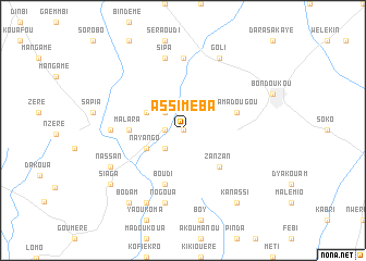
Assiméba (Cote d'Ivoire)Assiméba is a town in Cote d'Ivoire. An overview map of the region around Assiméba is displayed below.
regional and 3d topo map of Assiméba, Cote d'Ivoire ::
Assiméba airports ::
The nearest airport is NYI - Sunyani, located 93.4 km south east of Assiméba.
Nearby towns ::
Néré (NaNkm north) //
Afouanvam (1.8km west) //
Bidio (2.6km north west) //
Botya (2.6km south west) //
Nayango (4.1km south west) //
Aïnéba (4.1km north west) //
Zanzan (5.2km south east) //
Malara (5.5km west) //
Boudi (5.9km south) //
Yamadougou (5.8km east) //
Koufa (7.3km west) //
Guimini (7.4km north) //
Nogoua (7.6km south) //
Sipa (7.6km north) //
Koboko (8.2km south west) //
Nassan (8.2km south west) //
Goli (8.3km north east) //
Batyin (8.3km south west) //
Kanassi (9.2km south east) //
Bodam (9.2km south west) //
Siaga (9.2km south west) //
[all distances 'as the bird flies' and approximate] 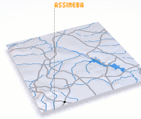 Places with similar names to Assiméba, Cote d'Ivoire ::
Disclaimer :: Information on this page comes without warranty of any kind |
||
|
Where is Assiméba? Elevation and coordinates ::
Latitude (lat): 8°0'0"N Longitude (lon): 2°53'0"W
Elevation (approx.): 292m (map arrows pan, magnifying glasses zoom) |
||
|
Visiting Assiméba? Hotel/Accommodation ::
Book a hotel in Assiméba Travel Guide ::
rental cars ::
car rental offers GPS waypoint ::
download a GPX waypoint (PoI) of Assiméba for your GPS receiver
|
||