|
search place name
|
||
Blolé (Cote d'Ivoire)Blolé is a town in Cote d'Ivoire. An overview map of the region around Blolé is displayed below.
regional and 3d topo map of Blolé, Cote d'Ivoire ::

Blolé airports ::
The nearest airport is MJC - Man, located 9.6 km south west of Blolé.
Other airports nearby include DJO - Daloa (128.7 km south east), Nearby towns ::
Yénalé (3.8km south) //
Dompleu (4.1km north west) //
Togbayourou (5.1km east) //
Pyanhirou (5.4km east) //
Pané (5.4km east) //
Dyotrou (5.8km south) //
Bigouen (5.8km north east) //
Kahirou (6.3km north east) //
Botongouen (6.4km west) //
Bakouma (7.5km north east) //
Bligouen (7.8km south) //
Sohirou (7.8km north east) //
Kohirou (8.0km north west) //
Gépleu (8.0km north east) //
Sahirou (8.2km south east) //
Siabli (8.8km north east) //
Zé (8.9km north east) //
Nilou (9.0km east) //
Zéré (9.2km north west) //
Soupleu (9.5km south west) //
Tiéhiné (10.1km north east) //
Sanhirou (10.3km north east) //
[all distances 'as the bird flies' and approximate] 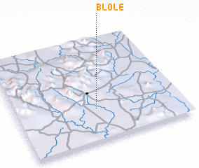 Places with similar names to Blolé, Cote d'Ivoire ::
Disclaimer :: Information on this page comes without warranty of any kind |
||
|
Where is Blolé? Elevation and coordinates ::
Latitude (lat): 7°19'2"N Longitude (lon): 7°30'46"W
Elevation (approx.): 326m (map arrows pan, magnifying glasses zoom) |
||
|
Visiting Blolé? Hotel/Accommodation ::
Book a hotel in Blolé Travel Guide ::
rental cars ::
car rental offers GPS waypoint ::
download a GPX waypoint (PoI) of Blolé for your GPS receiver
|
||