|
search place name
|
||
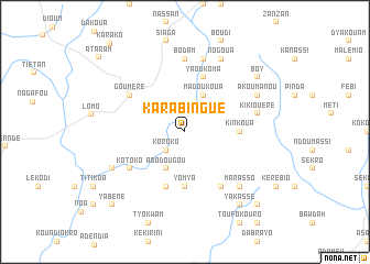
Karabingué (Cote d'Ivoire)Karabingué is a town in Cote d'Ivoire. An overview map of the region around Karabingué is displayed below.
regional and 3d topo map of Karabingué, Cote d'Ivoire ::
Karabingué airports ::
The nearest airport is NYI - Sunyani, located 87.0 km south east of Karabingué.
Nearby towns ::
Kofiékro (2.6km north east) //
Koroko (2.6km south west) //
Madoukoua (4.1km north east) //
Abodougou (4.1km south west) //
Yomya (5.6km south) //
Kinkoua (5.5km east) //
Yaoukoma (5.9km north) //
Dadiassé (5.9km south) //
Kotokoa (6.7km south east) //
Gouméré (6.6km north west) //
Kotoko (6.6km south west) //
Amata (6.6km south west) //
Bodam (7.4km north) //
Kikiouéré (7.6km east) //
Batyin (7.6km north) //
Adiao (7.8km south east) //
Marasso (7.8km south east) //
Akoumanou (8.2km north east) //
Nogoua (8.3km north east) //
Bakotié (8.2km south west) //
Boy (9.2km north east) //
Tantyaokro (9.2km south east) //
Yakassé (9.2km south east) //
Adoumkroum (10.4km south east) //
Yabéné (10.4km south west) //
Ataram (11.5km north west) //
[all distances 'as the bird flies' and approximate] 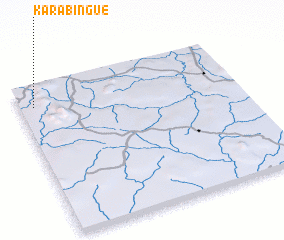 Places with similar names to Karabingué, Cote d'Ivoire ::
// Grabenegg (AT)
// Grabenig (AT)
// Grubing (AT)
// Caribbean Key (US)
// Grabing (DE)
// Grabianka (PL)
// Grabieniec (PL)
// Grabieniec A (PL)
// Grabinek (PL)
// Grabniak (PL)
Disclaimer :: Information on this page comes without warranty of any kind |
||
|
Where is Karabingué? Elevation and coordinates ::
Latitude (lat): 7°52'0"N Longitude (lon): 2°56'0"W
Elevation (approx.): 274m (map arrows pan, magnifying glasses zoom) |
||
|
Visiting Karabingué? Hotel/Accommodation ::
Book a hotel in Karabingué Travel Guide ::
rental cars ::
car rental offers GPS waypoint ::
download a GPX waypoint (PoI) of Karabingué for your GPS receiver
|
||