|
search place name
|
||
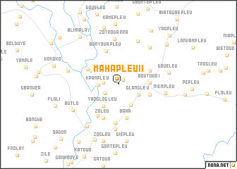
Mahapleu II (Cote d'Ivoire)Mahapleu II is a town in Cote d'Ivoire. An overview map of the region around Mahapleu II is displayed below.
regional and 3d topo map of Mahapleu II, Cote d'Ivoire ::
Mahapleu II airports ::
The nearest airport is MJC - Man, located 88.7 km north east of Mahapleu II.
Other airports nearby include DJO - Daloa (199.7 km east), Nearby towns ::
Bloleu (1.0km north east) //
Bayopleu (2.4km west) //
Yaogotouo (2.6km south west) //
Kpampleu (3.2km west) //
Glangleu (3.5km south east) //
Guizéré (3.9km south east) //
Yaoglogleu (4.2km south west) //
Kpantouopleu (4.7km north west) //
Boutouo I (5.0km east) //
Bepleu I (5.2km east) //
Blontouo (5.4km north west) //
Banyeleu (5.4km north east) //
Baha (5.4km south) //
Banyouapleu (5.7km north) //
Zoleu (5.8km south west) //
Dopleu (5.9km south west) //
Gué Houyé (6.1km south) //
Nyouampleu (7.2km south) //
Zotro Darra (7.3km north) //
Niempleu (7.5km east) //
Gouinhouyé (7.6km north east) //
Bouenneu (7.7km north east) //
Doueleu (8.2km east) //
Butlo (8.2km south west) //
Blumtuo (8.2km west) //
Dohouba (8.3km south west) //
Binhouyé (9.5km south west) //
Blimiplay (9.7km north west) //
Gbata (9.9km north east) //
[all distances 'as the bird flies' and approximate] 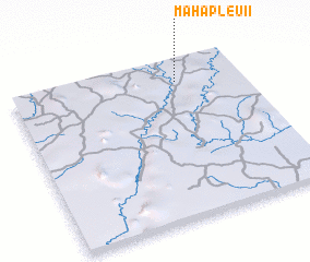 Places with similar names to Mahapleu II, Cote d'Ivoire ::
// Mahapleu (CI)
Disclaimer :: Information on this page comes without warranty of any kind |
||
|
Where is Mahapleu II? Elevation and coordinates ::
Latitude (lat): 6°51'51"N Longitude (lon): 8°16'42"W
Elevation (approx.): 269m (map arrows pan, magnifying glasses zoom) |
||
|
Visiting Mahapleu II? Hotel/Accommodation ::
Book a hotel in Mahapleu II Travel Guide ::
rental cars ::
car rental offers GPS waypoint ::
download a GPX waypoint (PoI) of Mahapleu II for your GPS receiver
|
||