|
search place name
|
||
Ngatakro (Cote d'Ivoire)Ngatakro is a town in Cote d'Ivoire. An overview map of the region around Ngatakro is displayed below.
regional and 3d topo map of Ngatakro, Cote d'Ivoire ::

Ngatakro airports ::
The nearest airport is NYI - Sunyani, located 161.5 km east of Ngatakro.
Other airports nearby include BYK - Bouake (162.9 km north west), ASK - Yamoussoukro (178.2 km west), ABJ - Abidjan Felix Houphouet Boigny Intl (200.4 km south), Nearby towns ::
Dolikro (0.7km west) //
Aounokro (3.8km south) //
Lagoukro (4.7km west) //
Alakro (4.9km east) //
Kofi Koulikro (5.6km south) //
Nzuépri (6.4km west) //
Dinsikonakro (6.5km west) //
Kouményakro (6.9km south west) //
Kangakro (7.1km south west) //
Bonikakro (7.1km south west) //
Drikouadio (7.7km south) //
Namoué (8.5km south west) //
Adiékro (8.6km east) //
Elinso (8.8km south east) //
Kokinsikro (8.8km south west) //
Bouloukouakro (9.5km south west) //
Débikro (9.7km north west) //
Kouamikofikro (9.8km north west) //
[all distances 'as the bird flies' and approximate] 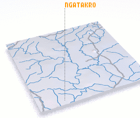 Places with similar names to Ngatakro, Cote d'Ivoire ::
Disclaimer :: Information on this page comes without warranty of any kind |
||
|
Where is Ngatakro? Elevation and coordinates ::
Latitude (lat): 7°3'56"N Longitude (lon): 3°45'39"W
Elevation (approx.): 170m (map arrows pan, magnifying glasses zoom) |
||
|
Visiting Ngatakro? Hotel/Accommodation ::
Book a hotel in Ngatakro Travel Guide ::
rental cars ::
car rental offers GPS waypoint ::
download a GPX waypoint (PoI) of Ngatakro for your GPS receiver
|
||