|
search place name
|
||
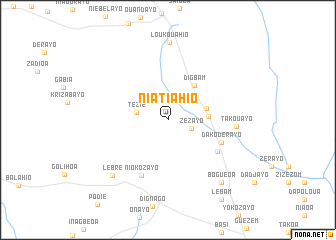
Niatiahio (Cote d'Ivoire)Niatiahio is a town in Cote d'Ivoire. An overview map of the region around Niatiahio is displayed below.
regional and 3d topo map of Niatiahio, Cote d'Ivoire ::
Niatiahio airports ::
The nearest airport is DJO - Daloa, located 50.9 km north west of Niatiahio.
Other airports nearby include ASK - Yamoussoukro (115.6 km north east), MJC - Man (175.9 km north west), SPY - San Pedro (185.7 km south), BYK - Bouake (200.2 km north east), Nearby towns ::
Zézayo (2.7km east) //
Tézié (3.6km west) //
Guguhé (4.4km east) //
Naio (4.5km east) //
Digbam (4.8km north east) //
Dako-Dérayo (6.5km south east) //
Kridayo (6.6km south east) //
Niokozayo (6.9km south west) //
Takouayo (7.6km east) //
Loukouahio (8.7km north) //
Lébré (8.8km south west) //
Boguéoa (9.2km south east) //
Lebam (10.7km south east) //
[all distances 'as the bird flies' and approximate] 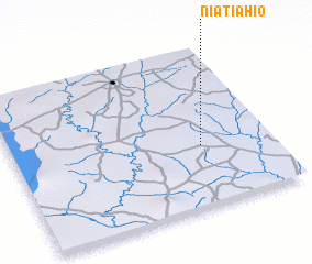 Places with similar names to Niatiahio, Cote d'Ivoire ::
Disclaimer :: Information on this page comes without warranty of any kind |
||
|
Where is Niatiahio? Elevation and coordinates ::
Latitude (lat): 6°22'47"N Longitude (lon): 6°16'14"W
Elevation (approx.): 249m (map arrows pan, magnifying glasses zoom) |
||
|
Visiting Niatiahio? Hotel/Accommodation ::
Book a hotel in Niatiahio Travel Guide ::
rental cars ::
car rental offers GPS waypoint ::
download a GPX waypoint (PoI) of Niatiahio for your GPS receiver
|
||