|
search place name
|
||
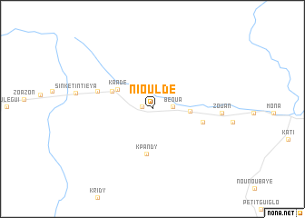
Niouldé (Cote d'Ivoire)Niouldé is a town in Cote d'Ivoire. An overview map of the region around Niouldé is displayed below.
regional and 3d topo map of Niouldé, Cote d'Ivoire ::
Niouldé airports ::
The nearest airport is MJC - Man, located 80.7 km north of Niouldé.
Other airports nearby include DJO - Daloa (135.3 km east), SPY - San Pedro (228.5 km south east), Nearby towns ::
Zéhirou (1.3km west) //
Béoua (2.5km east) //
Glopaoudy (4.6km east) //
Kaadé (4.9km north west) //
Banglo (5.4km north west) //
Guinkin (5.4km north west) //
Kpandy (5.6km south) //
Nédrou (6.3km east) //
Bodi-goazon (7.0km west) //
Zouan (8.5km east) //
[all distances 'as the bird flies' and approximate] 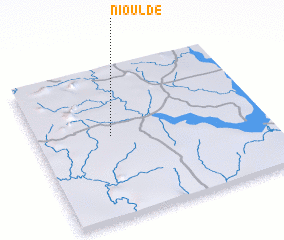 Places with similar names to Niouldé, Cote d'Ivoire ::
Disclaimer :: Information on this page comes without warranty of any kind |
||
|
Where is Niouldé? Elevation and coordinates ::
Latitude (lat): 6°32'51"N Longitude (lon): 7°40'20"W
Elevation (approx.): 243m (map arrows pan, magnifying glasses zoom) |
||
|
Visiting Niouldé? Hotel/Accommodation ::
Book a hotel in Niouldé Travel Guide ::
rental cars ::
car rental offers GPS waypoint ::
download a GPX waypoint (PoI) of Niouldé for your GPS receiver
|
||