|
search place name
|
||
Sétindra (Cote d'Ivoire)Sétindra is a town in Cote d'Ivoire. An overview map of the region around Sétindra is displayed below.
regional and 3d topo map of Sétindra, Cote d'Ivoire ::

Sétindra airports ::
The nearest airport is BYK - Bouake, located 150.9 km west of Sétindra.
Other airports nearby include NYI - Sunyani (154.9 km east), ASK - Yamoussoukro (196.3 km west), HGO - Korhogo (285.6 km north west), Nearby towns ::
Farakro (2.4km south east) //
Tétessi (2.5km north east) //
Nafana (4.4km north) //
Marukro (5.6km north) //
Téfikro (5.8km east) //
Aouan (7.3km south east) //
Dabokréla (7.6km north east) //
Assoumou-Kouassikro (7.7km west) //
Koffi Sébrégbékro (8.5km south) //
Soulimanékro (9.2km south east) //
Aloussou (9.7km north west) //
[all distances 'as the bird flies' and approximate] 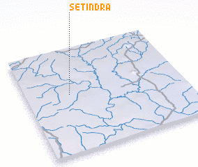
Disclaimer :: Information on this page comes without warranty of any kind |
||
|
Where is Sétindra? Elevation and coordinates ::
Latitude (lat): 7°34'0"N Longitude (lon): 3°43'0"W
Elevation (approx.): 208m (map arrows pan, magnifying glasses zoom) |
||
|
Visiting Sétindra? Hotel/Accommodation ::
Book a hotel in Sétindra Travel Guide ::
rental cars ::
car rental offers GPS waypoint ::
download a GPX waypoint (PoI) of Sétindra for your GPS receiver
|
||