|
search place name
|
||
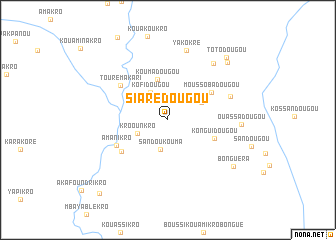
Siarédougou (Cote d'Ivoire)Siarédougou is a town in Cote d'Ivoire. An overview map of the region around Siarédougou is displayed below.
regional and 3d topo map of Siarédougou, Cote d'Ivoire ::
Siarédougou airports ::
The nearest airport is BYK - Bouake, located 85.1 km west of Siarédougou.
Other airports nearby include ASK - Yamoussoukro (147.7 km south west), NYI - Sunyani (221.2 km east), HGO - Korhogo (231.0 km north west), Nearby towns ::
Sandoukouma (3.4km south) //
Kofidougou (3.6km north west) //
Kroounkro (3.7km south west) //
Dézidougou (4.2km north east) //
Koumadougou (4.7km north) //
Konguidougou (5.5km east) //
Moussobadougou (5.7km north east) //
Dadiékro (6.2km south west) //
Amanikro (6.4km south west) //
Touré-Makari (6.5km north west) //
Tolédougou (7.4km east) //
Yakokré (8.1km north) //
Anzandougou (8.1km north east) //
Ouassadougou (8.2km east) //
Bonguéra (8.9km south east) //
Kouakoudougou (9.2km north east) //
Totodougou (9.5km north east) //
Bandamakro (11.2km south west) //
[all distances 'as the bird flies' and approximate] 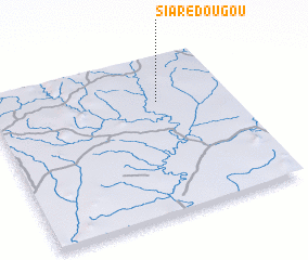 Places with similar names to Siarédougou, Cote d'Ivoire ::
// Ciarduqua (ET)
// Chardāq (IQ)
// Cherdaki (RU)
// Cherdaki (RU)
// Chertaki (RU)
// Char Teki (BD)
// Chorro de Agua (MX)
// Chorro de Agua (MX)
// Chartak (UZ)
// Chirtyk (UZ)
Disclaimer :: Information on this page comes without warranty of any kind |
||
|
Where is Siarédougou? Elevation and coordinates ::
Latitude (lat): 7°42'48"N Longitude (lon): 4°18'8"W
Elevation (approx.): 168m (map arrows pan, magnifying glasses zoom) |
||
|
Visiting Siarédougou? Hotel/Accommodation ::
Book a hotel in Siarédougou Travel Guide ::
rental cars ::
car rental offers GPS waypoint ::
download a GPX waypoint (PoI) of Siarédougou for your GPS receiver
|
||