|
search place name
|
||
Soglogbé (Cote d'Ivoire)Soglogbé is a town in Cote d'Ivoire. An overview map of the region around Soglogbé is displayed below.
regional and 3d topo map of Soglogbé, Cote d'Ivoire ::

Soglogbé airports ::
The nearest airport is SPY - San Pedro, located 63.7 km east of Soglogbé.
Nearby towns ::
Klotou (1.8km east) //
Nouhounié (1.8km west) //
Waliké (2.6km south west) //
Oulidié (2.6km north east) //
Toulaké (2.6km south west) //
Kablaké Wappou (3.7km south) //
Tabéko (3.7km east) //
Irépwé (3.7km north) //
Pitiké (4.1km south east) //
Gnegbagbo (5.2km south east) //
Ibo (5.6km north) //
Ménéké (8.3km south west) //
Gnagipo (8.3km south west) //
Toublaké (8.3km south west) //
Bébé (9.3km north west) //
Hiréboué (9.3km south west) //
Pata (9.3km north west) //
[all distances 'as the bird flies' and approximate] 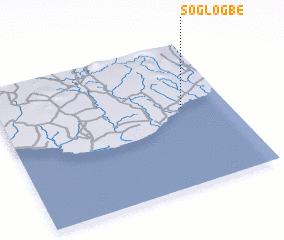 Places with similar names to Soglogbé, Cote d'Ivoire ::
// Soklogbo (BJ)
Disclaimer :: Information on this page comes without warranty of any kind |
||
|
Where is Soglogbé? Elevation and coordinates ::
Latitude (lat): 4°33'0"N Longitude (lon): 7°12'0"W
Elevation (approx.): 32m (map arrows pan, magnifying glasses zoom) |
||
|
Visiting Soglogbé? Hotel/Accommodation ::
Book a hotel in Soglogbé Travel Guide ::
rental cars ::
car rental offers GPS waypoint ::
download a GPX waypoint (PoI) of Soglogbé for your GPS receiver
|
||