|
search place name
|
||
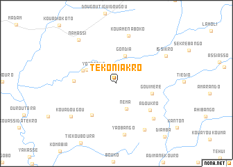
Tékoniakro (Cote d'Ivoire)Tékoniakro is a town in Cote d'Ivoire. An overview map of the region around Tékoniakro is displayed below.
regional and 3d topo map of Tékoniakro, Cote d'Ivoire ::
Tékoniakro airports ::
The nearest airport is NYI - Sunyani, located 129.9 km south east of Tékoniakro.
Other airports nearby include BYK - Bouake (186.9 km west), ASK - Yamoussoukro (244.0 km south west), Nearby towns ::
Adioumanikrou (4.1km north west) //
Yorénoua (4.1km north west) //
Néma (4.4km south) //
Gondia (4.6km north) //
Abondié (5.2km north west) //
Morokrou (5.8km west) //
Gouiméré (5.9km east) //
Komabo (6.4km south west) //
Kondoma (6.8km west) //
Adoukro (6.9km south east) //
Kouamena-Boko (7.9km north) //
Bassampounou (8.2km south east) //
Yao Bango (8.3km south) //
Kouadibango (8.7km south east) //
Kouadougou (8.9km south west) //
Issikro (9.0km north east) //
Namassi (9.2km north west) //
Diamba (11.5km south east) //
[all distances 'as the bird flies' and approximate] 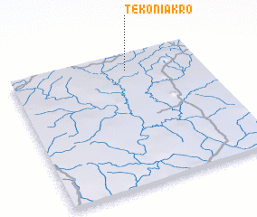 Places with similar names to Tékoniakro, Cote d'Ivoire ::
// Dignagar (BD)
// Dignagar (BD)
// Takinagar (BD)
// Toknagar (BD)
// Dīgnagar (IN)
// Dīgnagar (IN)
// Dakingari (NG)
// Diakankoré (ML)
// Dougounikoro (ML)
// Dougounikoro (ML)
Disclaimer :: Information on this page comes without warranty of any kind |
||
|
Where is Tékoniakro? Elevation and coordinates ::
Latitude (lat): 7°52'52"N Longitude (lon): 3°23'5"W
Elevation (approx.): 229m (map arrows pan, magnifying glasses zoom) |
||
|
Visiting Tékoniakro? Hotel/Accommodation ::
Book a hotel in Tékoniakro Travel Guide ::
rental cars ::
car rental offers GPS waypoint ::
download a GPX waypoint (PoI) of Tékoniakro for your GPS receiver
|
||