|
search place name
|
||
Tyengala (Cote d'Ivoire)Tyengala is a town in Cote d'Ivoire. An overview map of the region around Tyengala is displayed below.
regional and 3d topo map of Tyengala, Cote d'Ivoire ::

Tyengala airports ::
The nearest airport is BYK - Bouake, located 66.1 km south of Tyengala.
Other airports nearby include HGO - Korhogo (125.5 km north), ASK - Yamoussoukro (160.2 km south), DJO - Daloa (225.6 km south west), Nearby towns ::
Lô Nyéké (4.1km north west) //
Ounantyékana (5.2km north west) //
Darakokaha (6.7km south west) //
Kapokana (7.6km north) //
[all distances 'as the bird flies' and approximate] 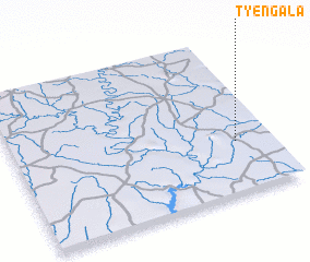 Places with similar names to Tyengala, Cote d'Ivoire ::
// Dyaonguèl (BF)
// Tyongol (BF)
// Toyong-gol (KP)
// Tuyong-gol (KP)
// Tyènguiéla (ML)
// Tyènkola (ML)
// Taeyang-gol (KP)
// Dayanglou (CN)
Disclaimer :: Information on this page comes without warranty of any kind |
||
|
Where is Tyengala? Elevation and coordinates ::
Latitude (lat): 8°20'0"N Longitude (lon): 5°8'0"W
Elevation (approx.): 285m (map arrows pan, magnifying glasses zoom) |
||
|
Visiting Tyengala? Hotel/Accommodation ::
Book a hotel in Tyengala Travel Guide ::
rental cars ::
car rental offers GPS waypoint ::
download a GPX waypoint (PoI) of Tyengala for your GPS receiver
|
||