|
search place name
|
||
Nhacra (Guinea-Bissau)Nhacra is a town in Guinea-Bissau. An overview map of the region around Nhacra is displayed below.
regional and 3d topo map of Nhacra, Guinea-Bissau ::

Nhacra airports ::
The nearest airport is BXO - Bissau Oswaldo Vieira Intl, located 13.8 km south west of Nhacra.
Other airports nearby include ZIG - Ziguinchor (102.9 km north west), CSK - Cap Skiring (139.1 km west), BJL - Banjul Intl (193.3 km north west), FIG - Fira Fria (280.7 km south east), Nearby towns ::
Cã Grande (1.8km east) //
Nhacra Teda (2.6km north west) //
Com (2.6km south west) //
Rossum (3.6km east) //
Sau (3.7km north) //
Birla (3.7km south) //
Som (3.7km south) //
Cuntanga (3.7km south) //
Nhoma (4.1km north west) //
Sumo (4.1km north west) //
Ocozinho (4.1km south east) //
Cola (4.1km south east) //
Quide (4.1km south west) //
Sucutó (5.2km north west) //
Iuncume (5.2km north west) //
Ponta Gomes (5.2km south west) //
Oco Grande (5.2km south east) //
Bupe (5.2km north) //
Cajana (5.6km south) //
Cholufe (5.4km west) //
Jugudul Com (5.5km north east) //
Cadé (5.7km east) //
Caramacó (5.8km south) //
Pabijaro (6.6km south west) //
Cumeré (7.6km south) //
Nague (7.5km east) //
Inquida (7.6km north) //
Fatim (7.6km north east) //
Ponta Luís Gomes (7.8km south west) //
[all distances 'as the bird flies' and approximate] 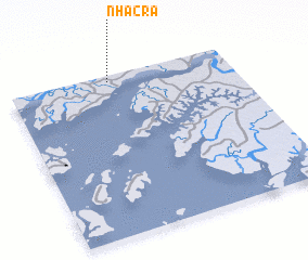 Places with similar names to Nhacra, Guinea-Bissau ::
Disclaimer :: Information on this page comes without warranty of any kind |
||
|
Where is Nhacra? Elevation and coordinates ::
Latitude (lat): 11°58'0"N Longitude (lon): 15°33'0"W
Elevation (approx.): 23m (map arrows pan, magnifying glasses zoom) |
||
|
Visiting Nhacra? Hotel/Accommodation ::
Book a hotel in Nhacra Travel Guide ::
rental cars ::
car rental offers GPS waypoint ::
download a GPX waypoint (PoI) of Nhacra for your GPS receiver
|
||