|
search place name
|
||
Bächlen (Aargau, Switzerland)Bächlen is a town in the Aargau region of Switzerland. An overview map of the region around Bächlen is displayed below.
regional and 3d topo map of Bächlen, Switzerland ::

Bächlen airports ::
The nearest airport is BRN - Bern Belp, located 31.7 km north of Bächlen.
Other airports nearby include SIR - Sion (49.6 km south), MLH - Bale Mulhouse (106.3 km north), QNJ - Annemasse (111.2 km south west), ZRH - Zurich (118.8 km north east), Nearby towns ::
Diemtigen (0.0km north) //
Rothbad (1.9km south) //
Säge (3.9km south) //
Oey (3.9km north) //
Erlenbach im Simmental (3.9km north) //
Ausser Latterbach (4.5km north east) //
Klusi (4.5km north west) //
Riedli (4.2km south west) //
Ringoldingen (4.2km north west) //
Wimmis (7.5km north east) //
Tiermatti (7.5km south west) //
Reutigen (8.3km north east) //
[all distances 'as the bird flies' and approximate] 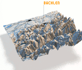 Places with similar names to Bächlen, Switzerland ::
// Bicheln (AT)
// Bächlein (DE)
// Bechlin (DE)
// Bicheln (DE)
// Bicheln (DE)
// Bachelino (RU)
// Bechlín (CZ)
// Becheln (DE)
// Bois Hulin (FR)
// Bois Hellin (BE)
Disclaimer :: Information on this page comes without warranty of any kind |
||
|
Where is Bächlen? Elevation and coordinates ::
Latitude (lat): 46°38'0"N Longitude (lon): 7°34'0"E
Elevation (approx.): 916m (map arrows pan, magnifying glasses zoom) |
||
|
Visiting Bächlen? Hotel/Accommodation ::
Book a hotel in Bächlen Travel Guide ::
Buy a travel guide for Switzerland rental cars ::
car rental offers GPS waypoint ::
download a GPX waypoint (PoI) of Bächlen for your GPS receiver
|
||