|
search place name
|
||
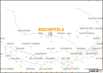
Bischoffeld (Kärnten, Austria)Bischoffeld is a town in the Kärnten region of Austria. An overview map of the region around Bischoffeld is displayed below.
regional and 3d topo map of Bischoffeld, Austria ::
Bischoffeld airports ::
The nearest airport is GRZ - Graz, located 63.9 km south east of Bischoffeld.
Other airports nearby include KLU - Klagenfurt (Worthersee Intl) (74.7 km south), LNZ - Linz (Horsching) (114.1 km north), MBX - Maribor (115.3 km south east), LJU - Ljubliana Ljubljana (117.4 km south), Nearby towns ::
Pirkach (0.8km west) //
Ingering Zwei (1.3km west) //
Schattenberg (1.9km south) //
Puchschachen (2.2km north east) //
Gaal (2.5km west) //
Graden (2.5km east) //
Sillweg (5.6km south) //
Rattenberg (5.7km south) //
Göttschach (5.7km south) //
Hart (4.5km east) //
Fohnsdorf (7.5km south) //
Dinsendorf (7.5km south) //
Flatschach (6.7km south east) //
Schönberg (6.7km south east) //
Wasendorf (7.8km south) //
Dietersdorf (7.8km south) //
Steinmetzgraben (6.2km south west) //
Kumpitz (8.1km south west) //
Ritzersdorf (9.0km south west) //
Lind (10.0km south east) //
[all distances 'as the bird flies' and approximate] 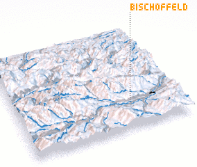
Disclaimer :: Information on this page comes without warranty of any kind |
||
|
Where is Bischoffeld? Elevation and coordinates ::
Latitude (lat): 47°16'0"N Longitude (lon): 14°42'0"E
Elevation (approx.): 838m (map arrows pan, magnifying glasses zoom) |
||
|
Visiting Bischoffeld? Hotel/Accommodation ::
Book a hotel in Bischoffeld Travel Guide ::
Buy a travel guide for Austria rental cars ::
car rental offers GPS waypoint ::
download a GPX waypoint (PoI) of Bischoffeld for your GPS receiver
|
||