|
search place name
|
||
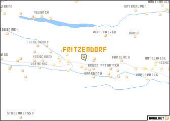
Fritzendorf (Kärnten, Austria)Fritzendorf is a town in the Kärnten region of Austria. An overview map of the region around Fritzendorf is displayed below.
regional and 3d topo map of Fritzendorf, Austria ::
Fritzendorf airports ::
The nearest airport is KLU - Klagenfurt (Worthersee Intl), located 71.8 km east of Fritzendorf.
Other airports nearby include TRS - Ronchi De Legionari Ronchi Dei Legionari (89.7 km south), AVB - Aviano Ab (Pagliano E Gori) (91.1 km south west), LJU - Ljubliana Ljubljana (93.2 km south east), POW - Portoroz (130.0 km south), Nearby towns ::
Untervellach (1.4km south) //
Micheldorf (1.9km south) //
Kühnburg (1.3km east) //
Obervellach (1.4km east) //
Egg (2.2km south) //
Brugg (2.2km south east) //
Götzing (2.2km south east) //
Mellach (2.2km south east) //
Kühweg (2.5km west) //
Hermagor (2.6km west) //
Grafenau (3.9km south) //
Radnig (3.0km north west) //
Möderndorf (3.5km south west) //
Untermöschach (3.8km west) //
Obermöschach (3.9km west) //
Dellach (4.5km south east) //
Passriach (4.2km south east) //
Mellweg (5.3km south east) //
Mitschig (4.7km west) //
Weissenbach (6.2km north east) //
Görtschach (5.5km south east) //
Liesch (5.4km west) //
Förolach (5.5km east) //
Latschach (6.3km south east) //
Jadersdorf (6.6km north west) //
[all distances 'as the bird flies' and approximate] 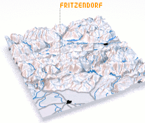 Places with similar names to Fritzendorf, Austria ::
// Fratzendorf (DE)
Disclaimer :: Information on this page comes without warranty of any kind |
||
|
Where is Fritzendorf? Elevation and coordinates ::
Latitude (lat): 46°38'0"N Longitude (lon): 13°24'0"E
Elevation (approx.): 595m (map arrows pan, magnifying glasses zoom) |
||
|
Visiting Fritzendorf? Hotel/Accommodation ::
Book a hotel in Fritzendorf Travel Guide ::
Buy a travel guide for Austria rental cars ::
car rental offers GPS waypoint ::
download a GPX waypoint (PoI) of Fritzendorf for your GPS receiver
|
||