|
search place name
|
||
Gnas (Steiermark, Austria)Gnas is a town in the Steiermark region of Austria. An overview map of the region around Gnas is displayed below.
regional and 3d topo map of Gnas, Austria ::

Gnas airports ::
The nearest airport is GRZ - Graz, located 32.2 km north west of Gnas.
Other airports nearby include MBX - Maribor (45.0 km south), KLU - Klagenfurt (Worthersee Intl) (116.5 km west), ZAG - Zagreb (127.0 km south), LJU - Ljubliana Ljubljana (127.3 km south west), Nearby towns ::
Gnaseggberg (0.9km south east) //
Gnasegg (0.9km south east) //
Lichtenbergen (0.9km south east) //
Raningberg (1.0km south west) //
Wörthgraben (1.0km south west) //
Grabenberg (1.0km south west) //
Oberburgfried (1.3km north east) //
Grabersdorfberg (2.6km south) //
Eisenberg (2.6km south) //
Raning (2.6km south) //
Pitzelgraben (2.0km east) //
Feldwenzl (2.0km east) //
Poppendorfberg (2.0km east) //
Tiefenthal (2.0km west) //
Steinbuchberg (2.0km west) //
Thieneggberg (2.0km west) //
Katzendorf (2.2km north east) //
Rettenbach (2.2km north west) //
Buchbergen (3.1km north) //
Höf (3.1km north) //
Kareck (3.1km north) //
Angerberg (3.1km north) //
Tixenberg (3.1km north) //
Fischa (3.1km north) //
Alm (3.1km north) //
Grabersdorf (3.3km south) //
Maierdorf (2.9km north east) //
Alm (3.2km south east) //
Ebersdorfbergen (3.2km south east) //
[all distances 'as the bird flies' and approximate] 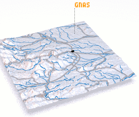 Places with similar names to Gnas, Austria ::
Disclaimer :: Information on this page comes without warranty of any kind |
||
|
Where is Gnas? Elevation and coordinates ::
Latitude (lat): 46°52'23"N Longitude (lon): 15°49'31"E
Elevation (approx.): 277m (map arrows pan, magnifying glasses zoom) |
||
|
Visiting Gnas? Hotel/Accommodation ::
Book a hotel in Gnas Travel Guide ::
Buy a travel guide for Austria rental cars ::
car rental offers GPS waypoint ::
download a GPX waypoint (PoI) of Gnas for your GPS receiver
|
||