|
search place name
|
||
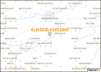
Kleinwolkersdorf (Niederösterreich, Austria)Kleinwolkersdorf is a town in the Niederösterreich region of Austria. An overview map of the region around Kleinwolkersdorf is displayed below.
regional and 3d topo map of Kleinwolkersdorf, Austria ::
nearby GPS traces from timatio ::
Kleinwolkersdorf airports ::
The nearest airport is VIE - Vienna Schwechat, located 46.6 km north east of Kleinwolkersdorf.
Other airports nearby include BTS - Bratislava M R Stefanik (85.7 km north east), GRZ - Graz (104.2 km south west), MBX - Maribor (147.5 km south), PZY - Piestany (152.5 km north east), Nearby towns ::
Frohsdorf (1.9km south) //
Ofenbach (1.9km south) //
Haderswörth (1.9km south) //
Lanzenkirchen (2.2km south west) //
Eichbüchl (2.5km east) //
Schleinz (3.7km south) //
Walpersbach (3.9km south) //
Neudörfl (4.5km north east) //
Erlach (4.5km south west) //
Katzelsdorf (4.5km north east) //
Wiener Neustadt (5.6km north) //
Linsberg (4.2km south west) //
Klingfurth (7.4km south) //
Leiding (6.7km south west) //
Inzenhof (6.7km south west) //
Breitenbuch (7.8km south) //
Pitten (6.2km south west) //
Brunn bei Pitten (6.2km south west) //
[all distances 'as the bird flies' and approximate] 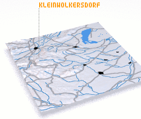 Places with similar names to Kleinwolkersdorf, Austria ::
// Kleinwalkersdorf (AT)
Disclaimer :: Information on this page comes without warranty of any kind |
||
|
Where is Kleinwolkersdorf? Elevation and coordinates ::
Latitude (lat): 47°45'0"N Longitude (lon): 16°15'0"E
Elevation (approx.): 291m (map arrows pan, magnifying glasses zoom) |
||
|
Visiting Kleinwolkersdorf? Hotel/Accommodation ::
Book a hotel in Kleinwolkersdorf Travel Guide ::
Buy a travel guide for Austria rental cars ::
car rental offers GPS waypoint ::
download a GPX waypoint (PoI) of Kleinwolkersdorf for your GPS receiver
|
||