|
search place name
|
||
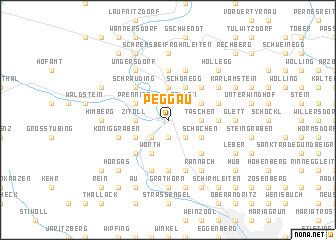
Peggau (Steiermark, Austria)Peggau is a town in the Steiermark region of Austria. An overview map of the region around Peggau is displayed below.
regional and 3d topo map of Peggau, Austria ::
Peggau airports ::
The nearest airport is GRZ - Graz, located 24.2 km south of Peggau.
Other airports nearby include MBX - Maribor (84.1 km south), KLU - Klagenfurt (Worthersee Intl) (98.9 km south west), LJU - Ljubliana Ljubljana (128.2 km south west), VIE - Vienna Schwechat (136.5 km north east), Nearby towns ::
Obertrumm (1.9km north) //
Hinterberg (1.9km south) //
Pöllau (2.2km north east) //
Hiening (2.2km south east) //
Thaneben (2.2km south east) //
Deutschfeistritz (2.2km south west) //
Badl (3.7km north) //
Zitoll (2.5km west) //
Taschen (2.5km east) //
Mitteregg (2.5km east) //
Schönegg (3.9km north) //
Prenning (3.1km north west) //
Markterviertel (3.1km north east) //
Kogel (3.1km north east) //
Kleinstübing (3.1km south west) //
Schachen (3.1km south east) //
Unterfriesach (3.9km south) //
Wörth (3.9km south) //
Friesach (3.9km south) //
Murhof (4.5km north west) //
Schrauding (4.5km north west) //
Lur (4.5km north east) //
Meierhöfen (4.5km north east) //
Dillach (4.5km south west) //
Freßnitzviertel (4.5km south east) //
Pfannberg (5.6km north) //
Augraben (3.8km east) //
Forstviertel (5.6km south) //
Mitterdorf am Trötsch (5.7km north) //
[all distances 'as the bird flies' and approximate] 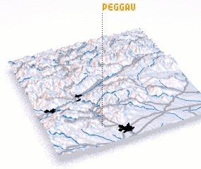 Places with similar names to Peggau, Austria ::
Disclaimer :: Information on this page comes without warranty of any kind |
||
|
Where is Peggau? Elevation and coordinates ::
Latitude (lat): 47°12'0"N Longitude (lon): 15°21'0"E
Elevation (approx.): 410m (map arrows pan, magnifying glasses zoom) |
||
|
Visiting Peggau? Hotel/Accommodation ::
Book a hotel in Peggau Travel Guide ::
Buy a travel guide for Austria rental cars ::
car rental offers GPS waypoint ::
download a GPX waypoint (PoI) of Peggau for your GPS receiver
|
||