|
search place name
|
||
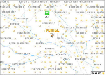
Ponigl (Steiermark, Austria)Ponigl is a town in the Steiermark region of Austria. An overview map of the region around Ponigl is displayed below.
regional and 3d topo map of Ponigl, Austria ::
Ponigl airports ::
The nearest airport is GRZ - Graz, located 8.9 km north of Ponigl.
Other airports nearby include MBX - Maribor (51.2 km south), KLU - Klagenfurt (Worthersee Intl) (90.6 km west), LJU - Ljubliana Ljubljana (108.3 km south west), ZAG - Zagreb (138.2 km south), Nearby towns ::
Wundschuh (1.6km north) //
Steindorf (1.5km south west) //
Weitendorf (1.9km south) //
Kasten (2.4km north) //
Greith (2.4km south east) //
Forst (3.0km north west) //
Neudorf ob Wildon (2.8km south east) //
Werndorf (2.9km north east) //
Gradenfeld (4.0km north) //
Kainach bei Wildon (3.8km south east) //
Lichendorf (4.0km south east) //
Zwaring (3.2km west) //
Dillach (3.3km east) //
Kleinsulz (4.6km north east) //
Komberg (5.1km south) //
Matzelsdorf (5.1km south) //
Grosssulz (4.5km north east) //
Murberg (4.0km north east) //
Lamberg (4.5km south west) //
Hengsberg (5.4km south) //
Flüssing (5.4km south) //
Kehlsdorf (5.4km south) //
Dietersdorf (4.2km west) //
Forst (6.1km north) //
Zettling (5.2km north west) //
Laa (5.2km north west) //
Kalsdorf bei Graz (6.2km north) //
Kleinpreding (5.9km south west) //
Unterhaus (6.0km south east) //
[all distances 'as the bird flies' and approximate] 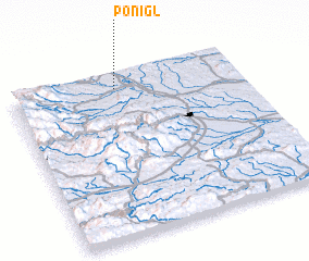 Places with similar names to Ponigl, Austria ::
Disclaimer :: Information on this page comes without warranty of any kind |
||
|
Where is Ponigl? Elevation and coordinates ::
Latitude (lat): 46°54'44"N Longitude (lon): 15°27'26"E
Elevation (approx.): 318m (map arrows pan, magnifying glasses zoom) |
||
|
Visiting Ponigl? Hotel/Accommodation ::
Book a hotel in Ponigl Travel Guide ::
Buy a travel guide for Austria rental cars ::
car rental offers GPS waypoint ::
download a GPX waypoint (PoI) of Ponigl for your GPS receiver
|
||