|
search place name
|
||
Rath (Oberösterreich, Austria)Rath is a town in the Oberösterreich region of Austria. An overview map of the region around Rath is displayed below.
regional and 3d topo map of Rath, Austria ::

Rath airports ::
The nearest airport is LNZ - Linz (Horsching), located 14.9 km north of Rath.
Other airports nearby include SZG - Salzburg (93.3 km west), GRZ - Graz (156.1 km south east), KLU - Klagenfurt (Worthersee Intl) (162.6 km south), LJU - Ljubliana Ljubljana (209.8 km south), Nearby towns ::
Kematen an der Krems (1.2km east) //
Burg (1.2km east) //
Halbarting (2.2km south east) //
Grub (2.2km south west) //
Kroisbach (3.7km north) //
Bruck (2.5km east) //
Permansberg (2.5km west) //
Unterrohr (3.9km south) //
Achleithen (3.9km south) //
Hub (3.9km north) //
Solenau (3.1km south east) //
Kirchberg (3.9km south) //
Henndorf (3.1km south west) //
Ratzenberg (3.1km north west) //
Arnberg (3.1km north west) //
Regau (3.1km south west) //
Eggendorf im Traunkreis (3.1km north west) //
Ottenberg (3.1km north west) //
Loderberg (4.5km north east) //
Gerersdorf (4.5km north east) //
Hundsfussberg (4.5km north west) //
Allhaming (5.6km north) //
Winden (3.7km east) //
Sipbachzell (3.7km west) //
Bradern (5.6km south) //
Oberrohr (5.6km south) //
Neukematen (4.2km south east) //
Fischen (4.1km north east) //
Neuhofen an der Krems (5.2km north east) //
[all distances 'as the bird flies' and approximate] 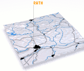 Places with similar names to Rath, Austria ::
Disclaimer :: Information on this page comes without warranty of any kind |
||
|
Where is Rath? Elevation and coordinates ::
Latitude (lat): 48°6'0"N Longitude (lon): 14°10'0"E
Elevation (approx.): 380m (map arrows pan, magnifying glasses zoom) |
||
|
Visiting Rath? Hotel/Accommodation ::
Book a hotel in Rath Travel Guide ::
Buy a travel guide for Austria rental cars ::
car rental offers GPS waypoint ::
download a GPX waypoint (PoI) of Rath for your GPS receiver
|
||