|
search place name
|
||
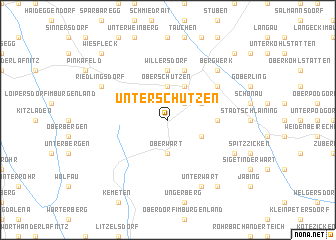
Unterschützen (Burgenland, Austria)Unterschützen is a town in the Burgenland region of Austria. An overview map of the region around Unterschützen is displayed below.
regional and 3d topo map of Unterschützen, Austria ::
Unterschützen airports ::
The nearest airport is GRZ - Graz, located 68.1 km south west of Unterschützen.
Other airports nearby include VIE - Vienna Schwechat (92.5 km north), MBX - Maribor (100.9 km south west), BTS - Bratislava M R Stefanik (121.5 km north east), KLU - Klagenfurt (Worthersee Intl) (160.3 km south west), Nearby towns ::
Bad Tatzmannsdorf (2.2km north east) //
Oberschützen (3.7km north) //
Oberwart (3.7km south) //
Sulzriegel (3.1km north east) //
Sankt Martin in der Wart (3.1km south east) //
Jormannsdorf (3.9km north) //
Drumling (3.8km east) //
Willersdorf (5.6km north) //
Mariasdorf (5.7km north) //
Neustift bei Schlaining (5.3km north east) //
Bergwerk (6.7km north east) //
Riedlingsdorf (6.2km north west) //
Unterwart (7.8km south) //
Eisenzicken (6.2km south east) //
Rotenturm an der Pinka (8.3km south east) //
Oberhasel (9.0km north east) //
Grodnau (9.0km north east) //
Wiesfleck (9.0km north west) //
[all distances 'as the bird flies' and approximate] 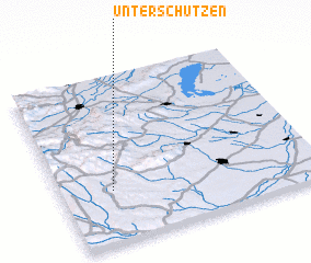 Places with similar names to Unterschützen, Austria ::
// Unterschützen (DE)
Disclaimer :: Information on this page comes without warranty of any kind |
||
|
Where is Unterschützen? Elevation and coordinates ::
Latitude (lat): 47°19'0"N Longitude (lon): 16°12'0"E
Elevation (approx.): 321m (map arrows pan, magnifying glasses zoom) |
||
|
Visiting Unterschützen? Hotel/Accommodation ::
Book a hotel in Unterschützen Travel Guide ::
Buy a travel guide for Austria rental cars ::
car rental offers GPS waypoint ::
download a GPX waypoint (PoI) of Unterschützen for your GPS receiver
|
||