|
search place name
|
||
Tencó (Guinea-Bissau)Tencó is a town in Guinea-Bissau. An overview map of the region around Tencó is displayed below.
regional and 3d topo map of Tencó, Guinea-Bissau ::

Tencó airports ::
The nearest airport is BXO - Bissau Oswaldo Vieira Intl, located 81.1 km south west of Tencó.
Other airports nearby include ZIG - Ziguinchor (121.8 km west), CSK - Cap Skiring (171.8 km west), BJL - Banjul Intl (188.8 km north west), KLC - Kaolack (210.8 km north west), Nearby towns ::
Bessia (0.0km north) //
Ponta Sinoi (1.5km north) //
Farandito (1.8km south east) //
Ponta Manuel Rodrigues (1.8km west) //
Ponta Dangã (1.8km west) //
Nhamburã (2.0km west) //
Ponta Pinto (2.6km north west) //
Ponta Furtado (2.6km north west) //
Ponta Camilo (2.6km north west) //
Talicó (2.6km south east) //
Biribão (3.6km south west) //
Bafatá (3.9km west) //
Bricama (4.5km north) //
Mato Vaz (4.6km north west) //
Farim Velho (5.2km north west) //
Fafacó (5.2km north west) //
Ponta Inácia (5.2km south east) //
Sinchã Mansaroto (5.2km north east) //
Ionfarim (5.4km south) //
Algodão (5.4km west) //
Coboroto (5.6km north) //
Sucutôto (5.8km north) //
Sucutoto (5.8km north) //
Sare Samba Sinquirim (5.8km north) //
Roca Esperança (5.8km north) //
Saliquinhédim (5.8km west) //
Gã Cricó (5.9km east) //
Canjanco (6.5km north) //
Bantajã (6.6km north west) //
[all distances 'as the bird flies' and approximate] 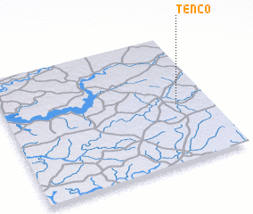 Places with similar names to Tencó, Guinea-Bissau ::
Disclaimer :: Information on this page comes without warranty of any kind |
||
|
Where is Tencó? Elevation and coordinates ::
Latitude (lat): 12°27'0"N Longitude (lon): 15°10'0"W
Elevation (approx.): 5m (map arrows pan, magnifying glasses zoom) |
||
|
Visiting Tencó? Hotel/Accommodation ::
Book a hotel in Tencó Travel Guide ::
rental cars ::
car rental offers GPS waypoint ::
download a GPX waypoint (PoI) of Tencó for your GPS receiver
|
||