|
search place name
|
||
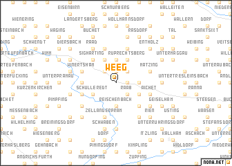
Weeg (Oberösterreich, Austria)Weeg is a town in the Oberösterreich region of Austria. An overview map of the region around Weeg is displayed below.
regional and 3d topo map of Weeg, Austria ::
Weeg airports ::
The nearest airport is LNZ - Linz (Horsching), located 43.7 km east of Weeg.
Other airports nearby include SZG - Salzburg (79.1 km south west), MUC - Munich Munchen (136.9 km west), PRG - Prague Ruzyne (198.2 km north), KLU - Klagenfurt (Worthersee Intl) (198.9 km south), Nearby towns ::
Hacking (1.9km north) //
Bründl (1.2km east) //
Jagern (2.2km north west) //
Enzenkirchen (2.2km north east) //
Strasswitraun (2.2km north east) //
Raab (2.2km south east) //
Kenading (3.7km north) //
Wamprechtsham (2.5km east) //
Reischenbach (3.7km south) //
Grossprambach (3.7km south) //
Angsüss (3.9km north) //
Ruprechtsberg (3.9km north) //
Schulleredt (3.1km south west) //
Pausing (3.1km south east) //
Sigharting (4.4km north west) //
Oberrödham (4.5km south east) //
Oberndorf (3.7km west) //
Matzing (4.1km north east) //
Mitterndorf (5.7km north) //
Winertsham (4.1km north west) //
Andorf (4.1km north west) //
Zell an der Pram (5.7km south) //
Unterwilling (5.7km south) //
Oberwilling (5.7km south) //
Engertsberg (5.7km north) //
Aichet (4.1km south east) //
Hötzlarn (4.1km south west) //
Grossschörgern (4.1km south west) //
Kleinschörgern (4.1km south west) //
[all distances 'as the bird flies' and approximate] 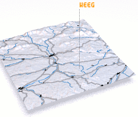 Places with similar names to Weeg, Austria ::
Disclaimer :: Information on this page comes without warranty of any kind |
||
|
Where is Weeg? Elevation and coordinates ::
Latitude (lat): 48°22'0"N Longitude (lon): 13°38'0"E
Elevation (approx.): 420m (map arrows pan, magnifying glasses zoom) |
||
|
Visiting Weeg? Hotel/Accommodation ::
Book a hotel in Weeg Travel Guide ::
Buy a travel guide for Austria rental cars ::
car rental offers GPS waypoint ::
download a GPX waypoint (PoI) of Weeg for your GPS receiver
|
||