|
search place name
|
||
Altenlotheim (Hessen, Germany)Altenlotheim is a town in the Hessen region of Germany. An overview map of the region around Altenlotheim is displayed below.
regional and 3d topo map of Altenlotheim, Germany ::

Altenlotheim airports ::
The nearest airport is KSF - Kassel Calden, located 45.7 km north east of Altenlotheim.
Other airports nearby include PAD - Paderborn Lippstadt (59.2 km north), ZCA - Arnsberg Menden (81.8 km north west), GUT - Guetersloh Gutersloh (99.2 km north west), DTM - Dortmund (101.3 km north west), Nearby towns ::
Frankenau (2.2km south east) //
Schmittlotheim (3.9km north) //
Ellershausen (4.4km south west) //
Ederbringhausen (3.5km west) //
Kirchlotheim (5.7km north) //
Louisendorf (4.0km south west) //
Dainrode (5.7km south) //
Allendorf bei Frankenau (5.7km south) //
Buchenberg (5.1km north west) //
Harbshausen (7.4km north) //
Asel (7.5km north) //
Herzhausen (7.5km north) //
Frebershausen (5.0km east) //
Haubern (7.5km south) //
Bringhausen (7.2km north east) //
Willershausen (8.2km north west) //
Löhlbach (7.3km south east) //
Fürstenberg (7.2km north west) //
Geismar (7.3km south west) //
Dörnholzhausen (8.2km south west) //
[all distances 'as the bird flies' and approximate] 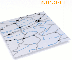 Places with similar names to Altenlotheim, Germany :: Disclaimer :: Information on this page comes without warranty of any kind |
||
|
Where is Altenlotheim? Elevation and coordinates ::
Latitude (lat): 51°7'0"N Longitude (lon): 8°55'0"E
Elevation (approx.): 322m (map arrows pan, magnifying glasses zoom) |
||
|
Visiting Altenlotheim? Hotel/Accommodation ::
Book a hotel in Altenlotheim Travel Guide ::
Buy a travel guide for Germany rental cars ::
car rental offers GPS waypoint ::
download a GPX waypoint (PoI) of Altenlotheim for your GPS receiver
|
||