|
search place name
|
||
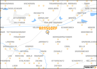
Arnsdorf (Brandenburg, Germany)Arnsdorf is a town in the Brandenburg region of Germany. An overview map of the region around Arnsdorf is displayed below.
regional and 3d topo map of Arnsdorf, Germany ::
Arnsdorf airports ::
The nearest airport is DRS - Dresden, located 34.2 km south of Arnsdorf.
Other airports nearby include BBJ - Bautzen (52.8 km south east), AOC - Altenburg Nobitz (107.5 km south west), SXF - Berlin Schonefeld (108.0 km north), LEJ - Leipzig Halle (113.0 km west), Nearby towns ::
Kolonie Schönburgsau (2.2km north west) //
Ruhland (3.7km north) //
Hermsdorf (3.0km south east) //
Jannowitz (3.9km south) //
Lipsa (4.4km south east) //
Naundorf (4.4km north east) //
Schwarzheide (5.6km north) //
Wandelhof (5.7km north) //
Guteborn (5.0km east) //
Rohna (7.5km south) //
Schwarzbach (5.0km east) //
Zeisholz (7.8km south) //
Pechhütte (7.8km north) //
Cosel (7.2km south east) //
Heinersdorf (7.2km south west) //
Kroppen (7.2km south west) //
Lauchhammer (8.7km north west) //
Oberhammer (8.7km north west) //
[all distances 'as the bird flies' and approximate] 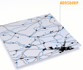 Places with similar names to Arnsdorf, Germany ::
// Ahrensdorf (DE)
// Ahrensdorf (DE)
// Ahrensdorf (DE)
// Ahrensdorf (DE)
// Ahrensdorf (DE)
// Ahrensdorf (DE)
// Arensdorf (DE)
// Arensdorf (DE)
// Arnsdorf (DE)
// Arnsdorf (DE)
Disclaimer :: Information on this page comes without warranty of any kind |
||
|
Where is Arnsdorf? Elevation and coordinates ::
Latitude (lat): 51°26'0"N Longitude (lon): 13°52'0"E
Elevation (approx.): 115m (map arrows pan, magnifying glasses zoom) |
||
|
Visiting Arnsdorf? Hotel/Accommodation ::
Book a hotel in Arnsdorf Travel Guide ::
Buy a travel guide for Germany rental cars ::
car rental offers GPS waypoint ::
download a GPX waypoint (PoI) of Arnsdorf for your GPS receiver
|
||