|
search place name
|
||
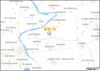
Biblis (Hessen, Germany)Biblis is a town in the Hessen region of Germany. An overview map of the region around Biblis is displayed below.
regional and 3d topo map of Biblis, Germany ::
Biblis airports ::
The nearest airport is MHG - Mannheim City, located 24.7 km south of Biblis.
Other airports nearby include FRA - Frankfurt Main (37.7 km north), ZQC - Speyer (43.3 km south), ZNF - Hanau Aaf (64.2 km north east), RMS - Ramstein Ab (68.3 km south west), Nearby towns ::
Bobstadt (3.4km south) //
Groß-Rohrheim (3.7km north east) //
Hamm (4.7km north west) //
Bürstadt (5.3km south) //
Wattenheim (3.7km west) //
Hofheim (4.6km south west) //
Klein-Rohrheim (5.3km north east) //
Riedrode (5.3km south east) //
Ibersheim (5.4km north west) //
Nordheim (5.3km west) //
Gernsheim (8.1km north) //
Rosengarten (7.6km south west) //
Eich (7.8km north west) //
[all distances 'as the bird flies' and approximate] 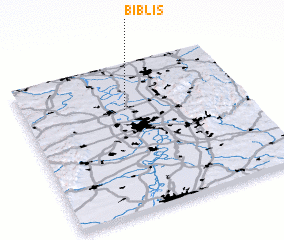 Places with similar names to Biblis, Germany ::
// Babal-losa (PH)
// Boblas (DE)
// Bobolice (PL)
// Bobolice (PL)
// Bíbiles (ES)
// Bowbells (US)
// Bobilisi (CD)
// Bay Bulls (CA)
// Babolíci (SK)
// Bab el Assa (DZ)
Disclaimer :: Information on this page comes without warranty of any kind |
||
|
Where is Biblis? Elevation and coordinates ::
Latitude (lat): 49°41'30"N Longitude (lon): 8°27'31"E
Elevation (approx.): 93m (map arrows pan, magnifying glasses zoom) |
||
|
Visiting Biblis? Hotel/Accommodation ::
Book a hotel in Biblis Travel Guide ::
Buy a travel guide for Germany rental cars ::
car rental offers GPS waypoint ::
download a GPX waypoint (PoI) of Biblis for your GPS receiver
|
||