|
search place name
|
||
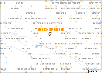
Bischofsheim (Bayern, Germany)Bischofsheim is a town in the Bayern region of Germany. An overview map of the region around Bischofsheim is displayed below.
regional and 3d topo map of Bischofsheim, Germany ::
Bischofsheim airports ::
The nearest airport is GHF - Giebelstadt Aaf, located 64.3 km south west of Bischofsheim.
Other airports nearby include NUE - Nuernberg Nurnberg (67.2 km south east), BYU - Bayreuth (72.3 km east), HOQ - Hof Plauen (91.8 km east), ERF - Erfurt (107.8 km north), Nearby towns ::
Kottenbrunn (2.2km north east) //
Zeil (3.0km south west) //
Ziegelanger (3.9km south) //
Sechsthal (3.0km north west) //
Steinbach (3.9km south) //
Hofstetten (3.9km north) //
Dörflis bei Königsberg (3.0km north east) //
Sand (4.4km south west) //
Schmachtenberg (4.4km south west) //
Altershausen (4.4km north west) //
Schönbach (4.4km south east) //
Neubrunn (3.6km east) //
Binnig (3.6km east) //
Krum (3.6km west) //
Limbach (5.6km south) //
Köslau (4.0km north east) //
Bühl (6.0km north east) //
Prappach (5.1km west) //
Breitbrunn (5.1km east) //
Hermannsberg (5.1km east) //
Pettstadt (5.1km east) //
Königsberg in Bayern (6.6km north west) //
Ebelsbach (6.6km south east) //
Eltmann (7.8km south) //
Bramberg (7.8km north) //
Jesserndorf (7.3km north east) //
Weißenbrunn (7.3km north east) //
Gleisenau (7.3km south east) //
Zell (8.8km south west) //
[all distances 'as the bird flies' and approximate] 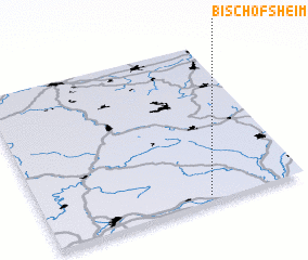 Places with similar names to Bischofsheim, Germany ::
Disclaimer :: Information on this page comes without warranty of any kind |
||
|
Where is Bischofsheim? Elevation and coordinates ::
Latitude (lat): 50°2'0"N Longitude (lon): 10°38'0"E
Elevation (approx.): 361m (map arrows pan, magnifying glasses zoom) |
||
|
Visiting Bischofsheim? Hotel/Accommodation ::
Book a hotel in Bischofsheim Travel Guide ::
Buy a travel guide for Germany rental cars ::
car rental offers GPS waypoint ::
download a GPX waypoint (PoI) of Bischofsheim for your GPS receiver
|
||