|
search place name
|
||
Böckenberg (Brandenburg, Germany)Böckenberg is a town in the Brandenburg region of Germany. An overview map of the region around Böckenberg is displayed below.
regional and 3d topo map of Böckenberg, Germany ::

Böckenberg airports ::
The nearest airport is TXL - Berlin Tegel, located 71.5 km south west of Böckenberg.
Other airports nearby include THF - Berlin Tempelhof (77.4 km south), SXF - Berlin Schonefeld (85.4 km south), SZZ - Szczechin Goleniow (90.8 km north east), RLG - Laage (131.8 km north west), Nearby towns ::
Willmine (1.9km south) //
Berkenlatten (2.2km north west) //
Groß Fredenwalde (2.2km east) //
Friedenfelde (2.2km west) //
Gerswalde (3.7km north) //
Kaakstedt (3.7km north) //
Hessenhagen (2.9km south east) //
Alt Temmen (3.9km south) //
Temmen (3.9km south) //
Neudorf (3.3km west) //
Neutemmen (5.7km south) //
Hohenwalde (5.7km south) //
Stiern (3.8km north west) //
Flieth (5.0km north east) //
Erdmannswalde (4.4km west) //
Poratz (7.5km south) //
Voßberg (4.8km north east) //
Buchholz (7.5km north) //
Herrenstein (5.8km north west) //
Neuhaus (7.1km south east) //
Fergitz (7.1km north east) //
Blankensee (8.6km north west) //
[all distances 'as the bird flies' and approximate] 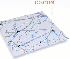 Places with similar names to Böckenberg, Germany ::
// Bökenberg (DE)
// Buckenberg (DE)
// Bakenberg (ZA)
// Boekenberg (BE)
// Bokkenberg (BE)
// Bukenberg (BE)
// Bakenberg (NL)
Disclaimer :: Information on this page comes without warranty of any kind |
||
|
Where is Böckenberg? Elevation and coordinates ::
Latitude (lat): 53°8'0"N Longitude (lon): 13°46'0"E
Elevation (approx.): 62m (map arrows pan, magnifying glasses zoom) |
||
|
Visiting Böckenberg? Hotel/Accommodation ::
Book a hotel in Böckenberg Travel Guide ::
Buy a travel guide for Germany rental cars ::
car rental offers GPS waypoint ::
download a GPX waypoint (PoI) of Böckenberg for your GPS receiver
|
||