|
search place name
|
||
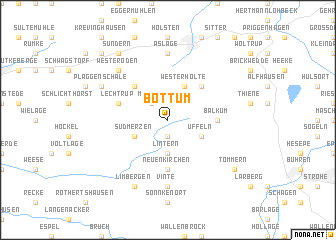
Bottum (Niedersachsen, Germany)Bottum is a town in the Niedersachsen region of Germany. An overview map of the region around Bottum is displayed below.
regional and 3d topo map of Bottum, Germany ::
Bottum airports ::
The nearest airport is FMO - Muenster/osnabrueck Munster Osnabruck, located 38.6 km south of Bottum.
Other airports nearby include GUT - Guetersloh Gutersloh (68.1 km south east), ENS - Enschede Twenthe (70.0 km west), BRE - Bremen (90.4 km north east), DTM - Dortmund (106.8 km south), Nearby towns ::
Aegypten (1.9km south) //
Merzen (2.2km north west) //
Lintern (3.7km south) //
Auf dem Orte (2.9km south west) //
Südmerzen (2.9km south west) //
Üffeln (2.9km south east) //
Westerholte (3.9km north) //
Osteroden (4.3km north west) //
Grovern (4.3km north east) //
Neuenkirchen (5.6km south) //
Balkum (3.4km east) //
Lechtrup (3.9km north west) //
Aslage (7.4km north) //
Vinte (7.4km south) //
Westeroden (6.5km north west) //
Limbergen (7.8km south) //
Plaggenschale (5.8km north west) //
Sundern (8.1km north west) //
Tömmern (7.2km south east) //
Grünegras (7.2km south east) //
Harpke (8.7km north west) //
[all distances 'as the bird flies' and approximate] 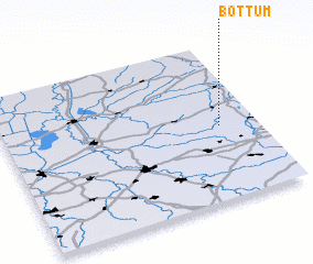 Places with similar names to Bottum, Germany ::
Disclaimer :: Information on this page comes without warranty of any kind |
||
|
Where is Bottum? Elevation and coordinates ::
Latitude (lat): 52°28'0"N Longitude (lon): 7°51'0"E
Elevation (approx.): 60m (map arrows pan, magnifying glasses zoom) |
||
|
Visiting Bottum? Hotel/Accommodation ::
Book a hotel in Bottum Travel Guide ::
Buy a travel guide for Germany rental cars ::
car rental offers GPS waypoint ::
download a GPX waypoint (PoI) of Bottum for your GPS receiver
|
||