|
search place name
|
||
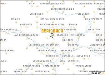
Braidbach (Bayern, Germany)Braidbach is a town in the Bayern region of Germany. An overview map of the region around Braidbach is displayed below.
regional and 3d topo map of Braidbach, Germany ::
Braidbach airports ::
The nearest airport is GHF - Giebelstadt Aaf, located 83.2 km south of Braidbach.
Other airports nearby include ERF - Erfurt (86.0 km north east), ZNF - Hanau Aaf (90.3 km west), BYU - Bayreuth (113.0 km south east), NUE - Nuernberg Nurnberg (117.1 km south east), Nearby towns ::
Lebenhan (1.9km south) //
Rödles (1.2km west) //
Reyersbach (2.2km north west) //
Bastheim (2.2km north east) //
Schweinhof (3.7km south) //
Geckenau (2.4km east) //
Wechterswinkel (2.4km east) //
Unterwaldbehrungen (3.7km north) //
Simonshof (3.7km north) //
Oberwaldbehrungen (5.6km north) //
Leutershausen (5.7km south) //
Querbachshof (5.7km south) //
Wollbach (4.0km south east) //
Frickenhausen (4.0km north east) //
Kollertshof (5.1km south west) //
Windshausen (6.0km south west) //
Bad Neustadt an der Saale (6.0km south east) //
Unterelsbach (5.1km north west) //
Hohenroth (7.4km south) //
Herschfeld (6.6km south east) //
Brendlorenzen (6.6km south east) //
Oberelsbach (6.6km north west) //
Heustreu (6.0km south east) //
Hainhof (6.0km north east) //
Bad Neuhaus an der Saale (8.2km south east) //
Mühlbach (8.2km south east) //
Urspringen (8.2km north west) //
Dürrnhof (8.8km south east) //
[all distances 'as the bird flies' and approximate] 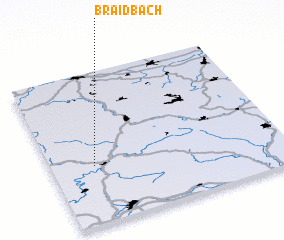 Places with similar names to Braidbach, Germany ::
Disclaimer :: Information on this page comes without warranty of any kind |
||
|
Where is Braidbach? Elevation and coordinates ::
Latitude (lat): 50°23'0"N Longitude (lon): 10°11'0"E
Elevation (approx.): 294m (map arrows pan, magnifying glasses zoom) |
||
|
Visiting Braidbach? Hotel/Accommodation ::
Book a hotel in Braidbach Travel Guide ::
Buy a travel guide for Germany rental cars ::
car rental offers GPS waypoint ::
download a GPX waypoint (PoI) of Braidbach for your GPS receiver
|
||