|
search place name
|
||
Büchenbeuren (Rheinland-Pfalz, Germany)Büchenbeuren is a town in the Rheinland-Pfalz region of Germany. An overview map of the region around Büchenbeuren is displayed below.
regional and 3d topo map of Büchenbeuren, Germany ::

Büchenbeuren airports ::
The nearest airport is HHN - Frankfurt Hahn, located 3.6 km north of Büchenbeuren.
Other airports nearby include ZQF - Trier Fohren (34.9 km west), SPM - Spangdahlem Ab (41.7 km west), ZNV - Koblenz Winningen (49.2 km north), RMS - Ramstein Ab (58.5 km south east), Nearby towns ::
Lautzenhausen (1.9km north) //
Niederweiler (2.2km south east) //
Hirschfeld (2.2km south west) //
Wahlenau (2.2km south west) //
Krummenau (3.7km south) //
Laufersweiler (3.0km south east) //
Bärenbach (4.4km north east) //
Raversbeuren (4.4km north west) //
Horbruch (4.4km south west) //
Hahn (5.6km north) //
Lötzbeuren (4.0km north west) //
Sohren (4.0km north east) //
Hochscheid (5.2km south west) //
Altlay (7.4km north) //
Niedersohren (5.1km east) //
Stipshausen (7.5km south) //
Weitersbach (6.6km south east) //
Belg (7.8km north) //
Würrich (7.8km north) //
Briedeler Heck (7.8km north) //
Gösenroth (6.0km south east) //
Schneppenbach (7.8km south) //
Oberkleinich (6.0km south west) //
Schwarzen (7.3km north east) //
[all distances 'as the bird flies' and approximate] 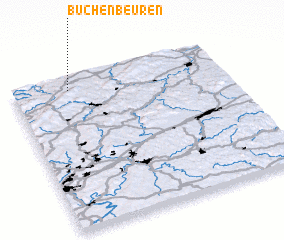 Places with similar names to Büchenbeuren, Germany ::
// Büchenbronn (DE)
// Büchenbronn (DE)
Disclaimer :: Information on this page comes without warranty of any kind |
||
|
Where is Büchenbeuren? Elevation and coordinates ::
Latitude (lat): 49°55'0"N Longitude (lon): 7°16'0"E
Elevation (approx.): 444m (map arrows pan, magnifying glasses zoom) |
||
|
Visiting Büchenbeuren? Hotel/Accommodation ::
Book a hotel in Büchenbeuren Travel Guide ::
Buy a travel guide for Germany rental cars ::
car rental offers GPS waypoint ::
download a GPX waypoint (PoI) of Büchenbeuren for your GPS receiver
|
||