|
search place name
|
||
Dachswald (Baden-Württemberg, Germany)Dachswald is a town in the Baden-Württemberg region of Germany. An overview map of the region around Dachswald is displayed below.
regional and 3d topo map of Dachswald, Germany ::

Dachswald airports ::
The nearest airport is STR - Stuttgart, located 10.2 km south east of Dachswald.
Other airports nearby include ZCC - Baden-baden Baden Oos (68.5 km west), ZQC - Speyer (78.4 km north west), MHG - Mannheim City (91.6 km north west), ZQL - Donaueschingen Villingen (96.9 km south west), Nearby towns ::
Kaltental (2.2km south east) //
Vaihingen (2.2km south west) //
Dürrlewang (3.7km south) //
Rohr (3.7km south) //
Büsnau (2.4km west) //
Botnang (3.9km north) //
Heslach (3.1km north east) //
Möhringen (3.1km south east) //
Musberg (5.6km south) //
Oberaichen (5.6km south) //
Weilim Dorf (5.6km north) //
Degerloch (3.7km east) //
Unteraichen (5.7km south) //
Bergheim (5.7km north) //
Hoffeld (4.1km south east) //
Sonnenberg (4.1km south east) //
Leinfelden-Echterdingen (6.1km south east) //
Feuerbach (6.1km north east) //
Schillerhöhe (5.2km north west) //
Laichle (6.1km north west) //
Wolfbusch (7.4km north) //
Korntal-Münchingen (7.4km north) //
Stuttgart (5.2km east) //
Gerlingen (6.7km north west) //
Westfilderstadt (7.8km south) //
Bopser (6.1km north west) //
Echterdingen (8.3km south east) //
[all distances 'as the bird flies' and approximate] 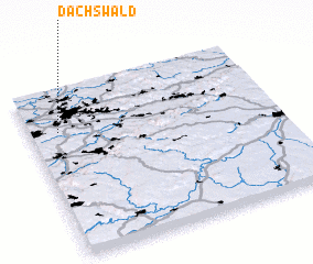 Places with similar names to Dachswald, Germany :: Disclaimer :: Information on this page comes without warranty of any kind |
||
|
Where is Dachswald? Elevation and coordinates ::
Latitude (lat): 48°45'0"N Longitude (lon): 9°7'0"E
Elevation (approx.): 464m (map arrows pan, magnifying glasses zoom) |
||
|
Visiting Dachswald? Hotel/Accommodation ::
Book a hotel in Dachswald Travel Guide ::
Buy a travel guide for Germany rental cars ::
car rental offers GPS waypoint ::
download a GPX waypoint (PoI) of Dachswald for your GPS receiver
|
||